Ohio River Brownfields Planning Project
Ohio River Brownfields Planning Project
Project Overview
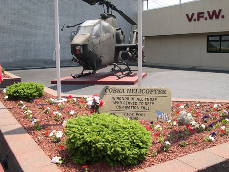
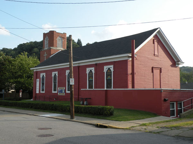
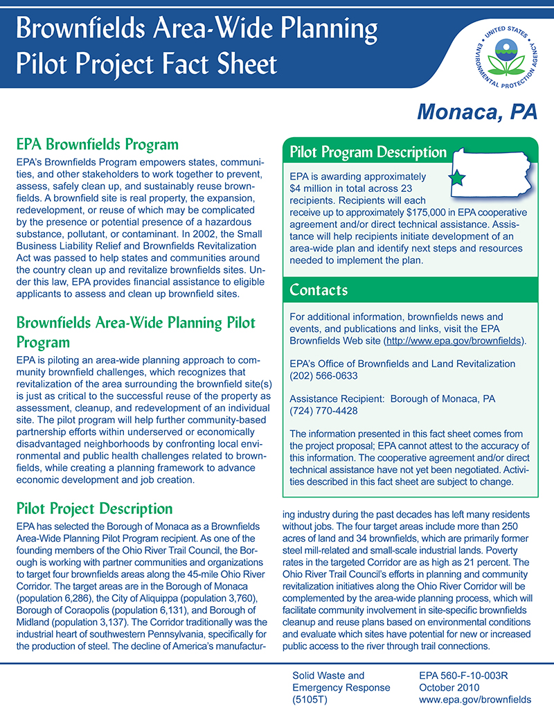
The Borough of Monaca along with its community partners, the City of Aliquippa, the Borough of Coraopolis, the Borough of Midland, and the Ohio River Trail Council (ORTC) have joined together to undertake a grass-roots effort to re-think the future of our communities as a way to overcome the loss of a major portion of our manufacturing/industrial base and the post-industrial brownfields legacy that remains from that loss. One key outcome of the efforts has been the creation of the ORTC, which is comprised of local municipal elected officials, interested businesses and property owners and community residents. The Borough of Monaca is one of the pioneer municipalities on the ORTC. This organization is helping to provide increased access to and along the river corridor and the revitalization of the numerous blighted parcels, many of which are perceived brownfields.
The goal of the project is to develop an area-wide plan for the riverfront brownfields areas that will inform the assessment, cleanup and subsequent reuse of those sites. These goals will be accomplished by identifying potential future uses for brownfields properties, creating a set of area-wide, community revitalization strategies that will help ensure successful assessment, cleanup and reuse of the brownfield site(s), and developing strategies for facilitating the reuse of existing infrastructure.
Targeted Reuse Study Areas
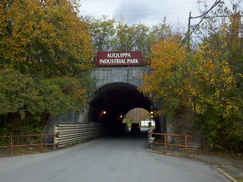
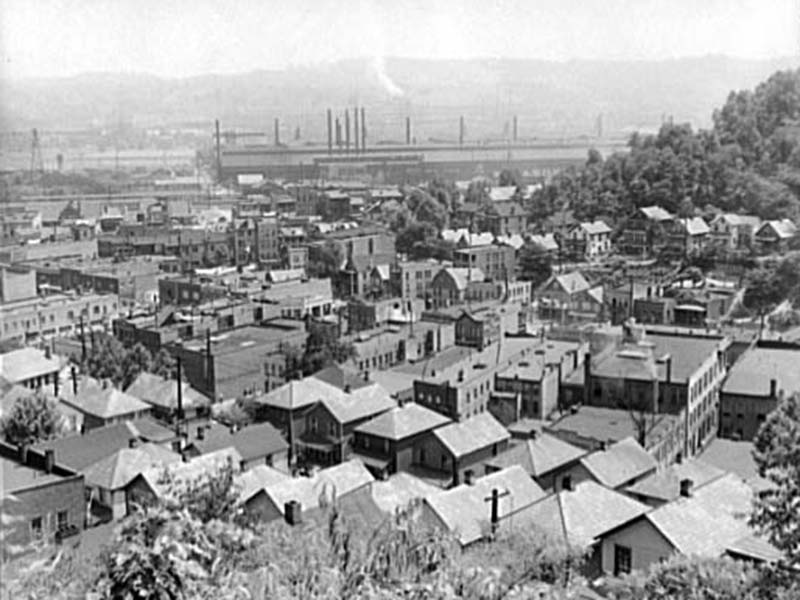
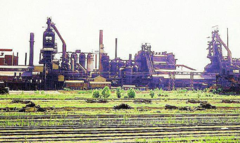
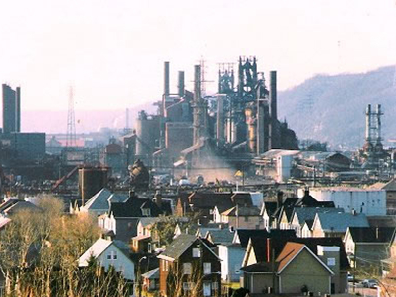
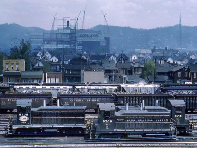
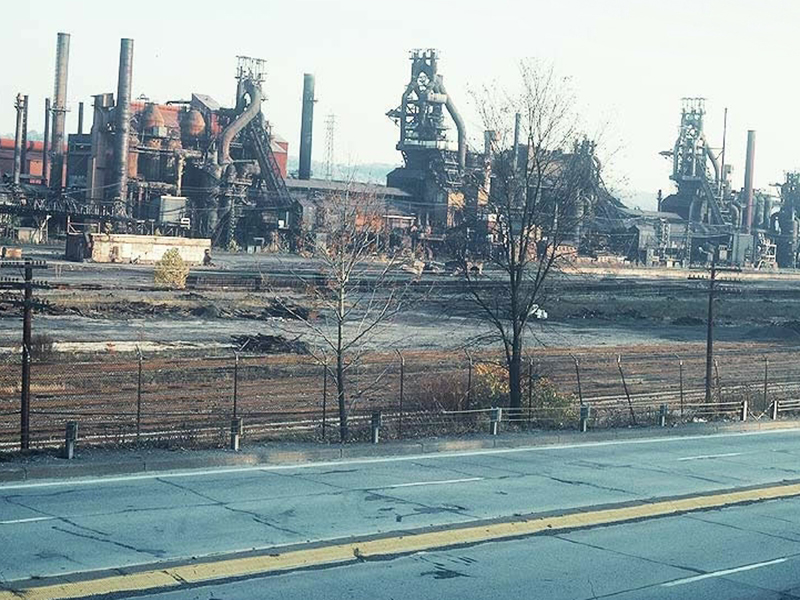
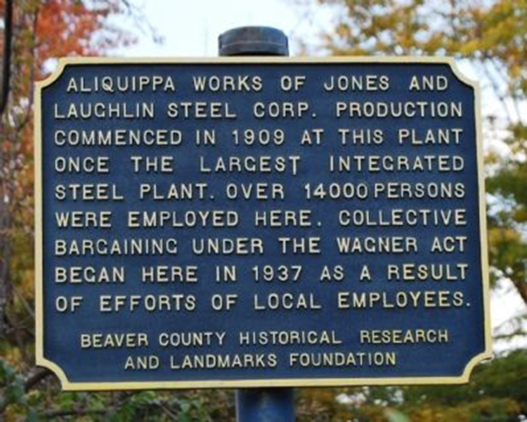
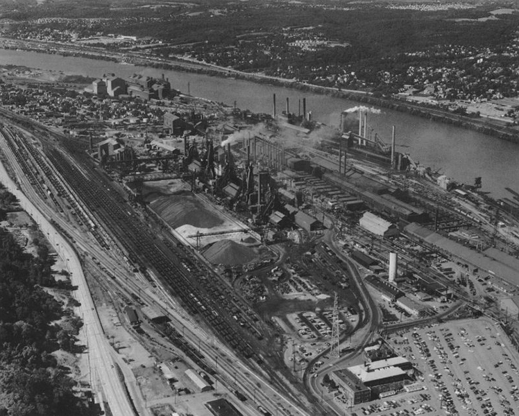
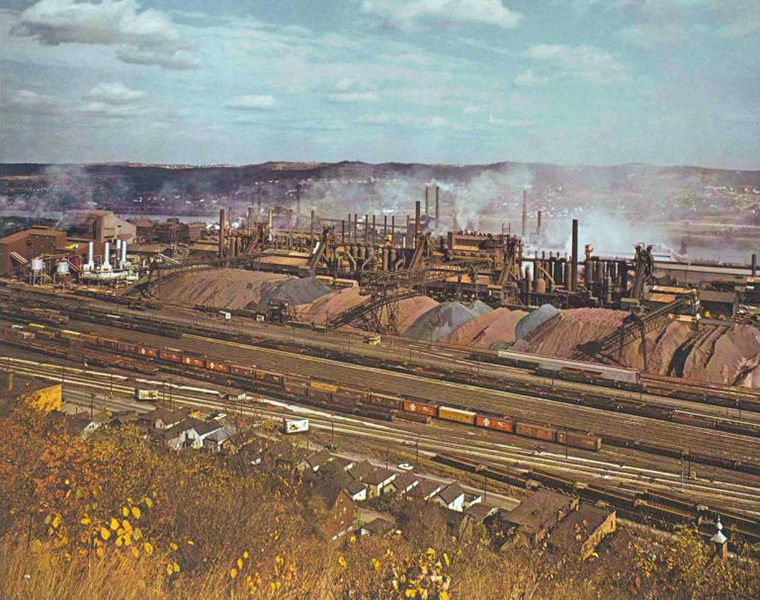
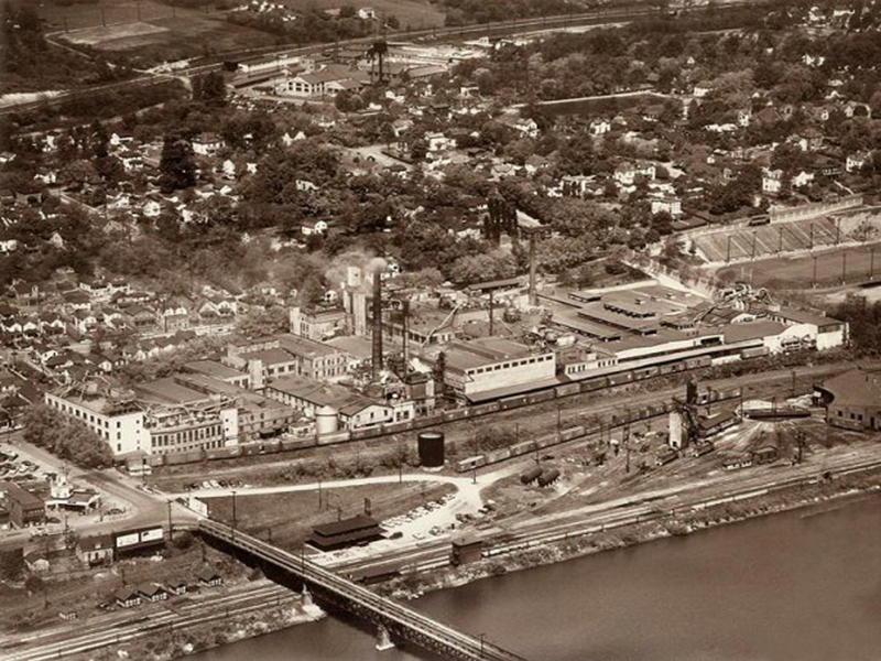
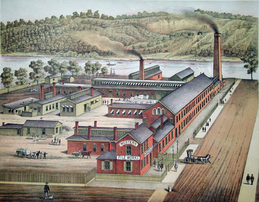
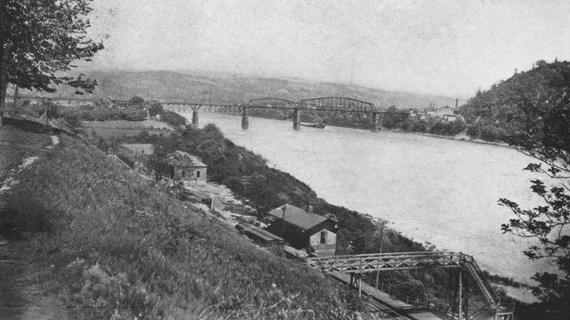
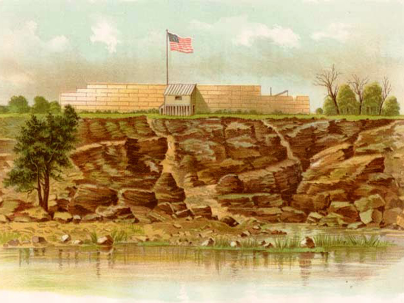
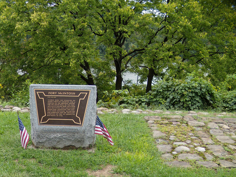
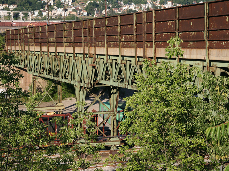
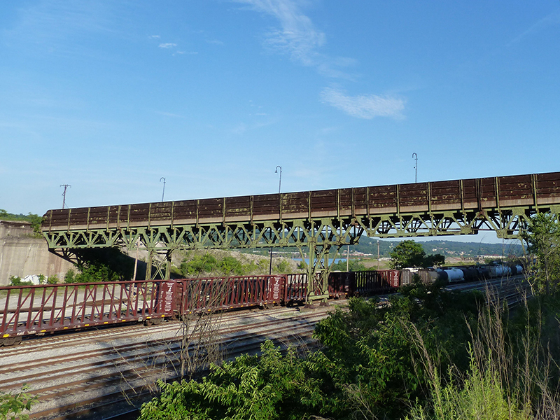
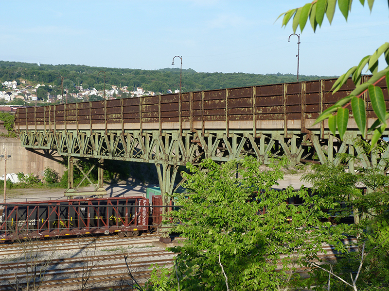
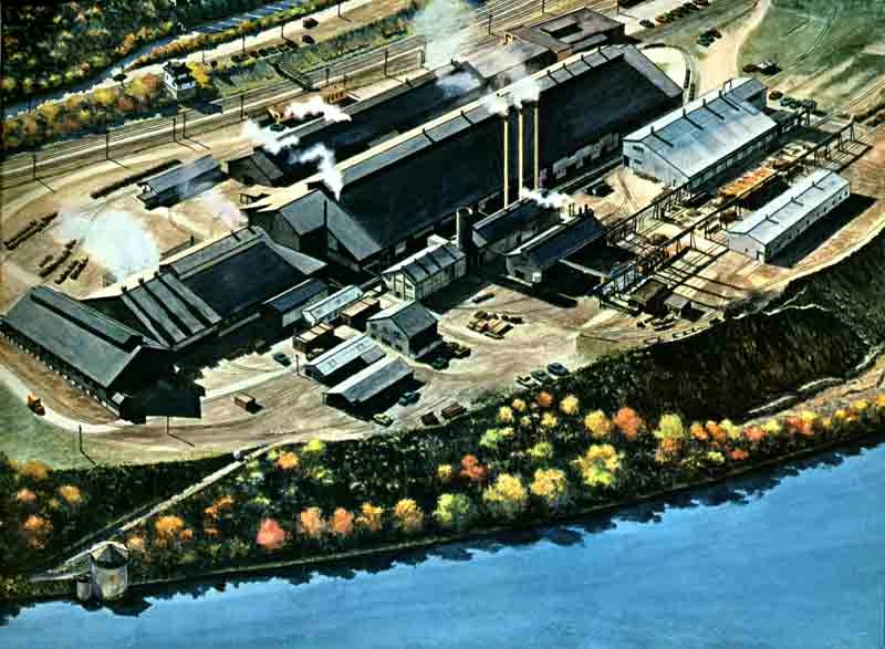
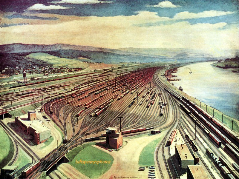
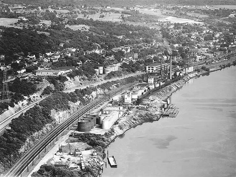
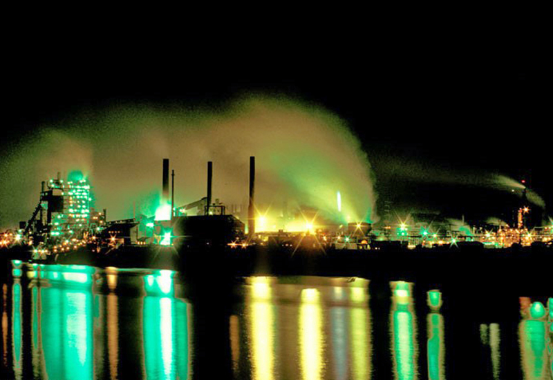
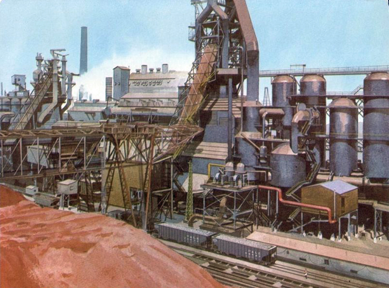
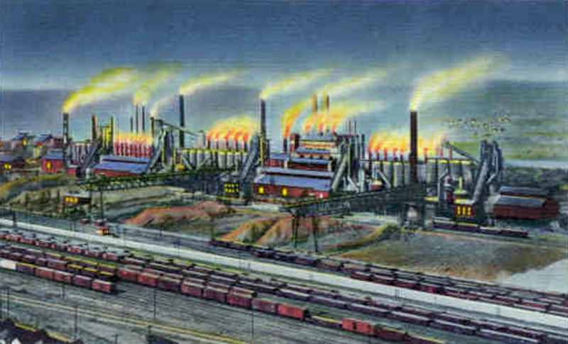
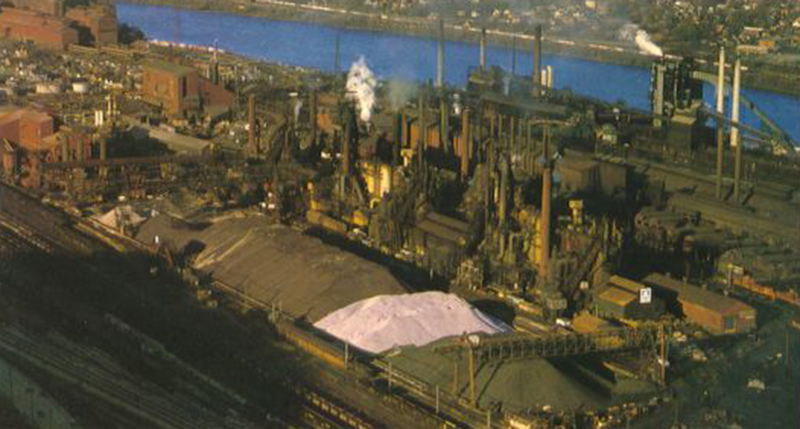
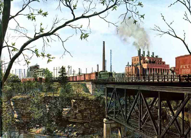
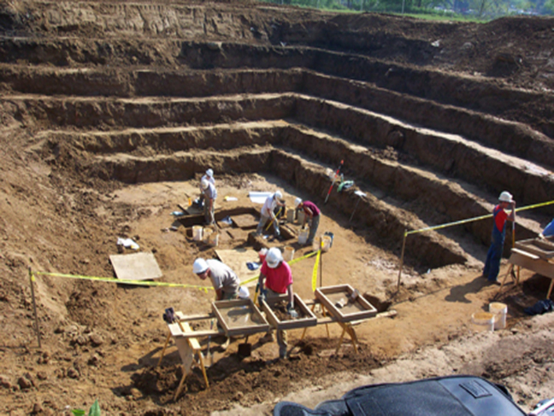
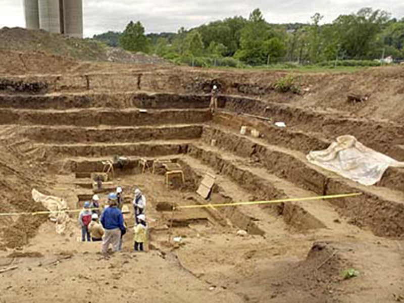
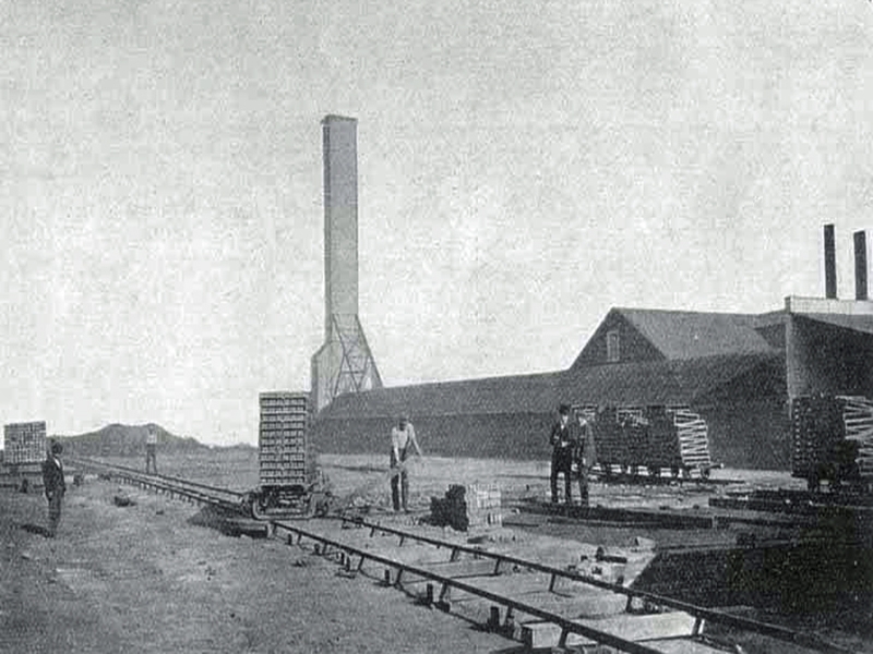
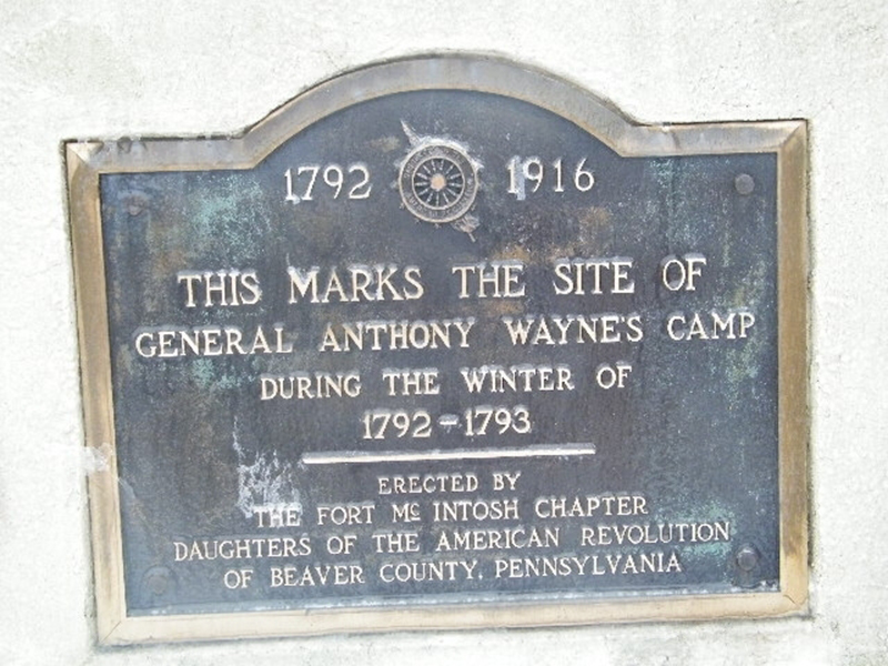
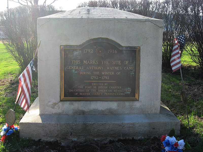
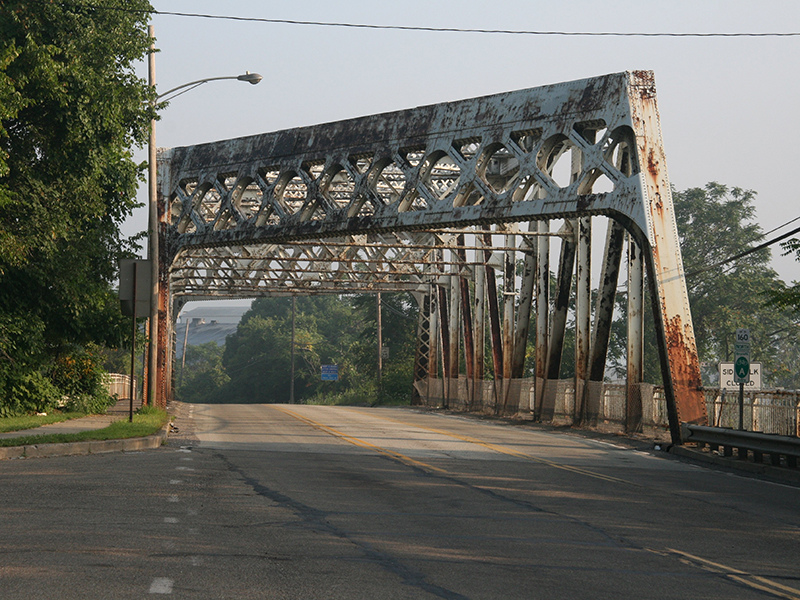
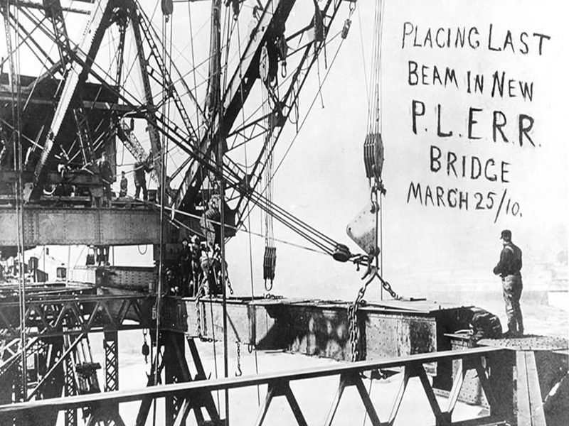
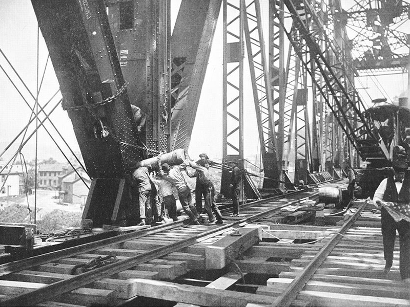
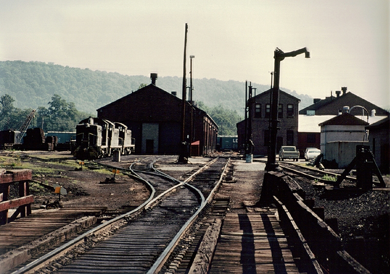
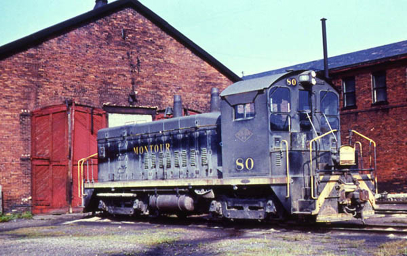
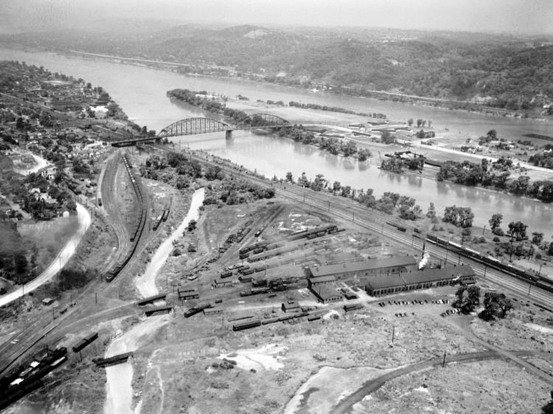
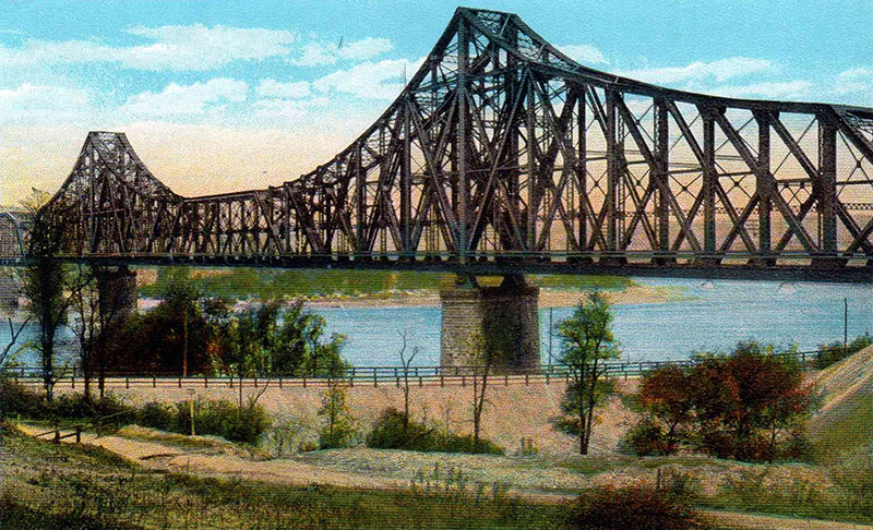
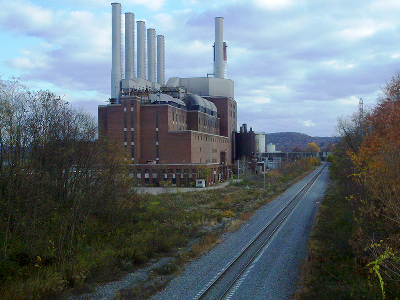
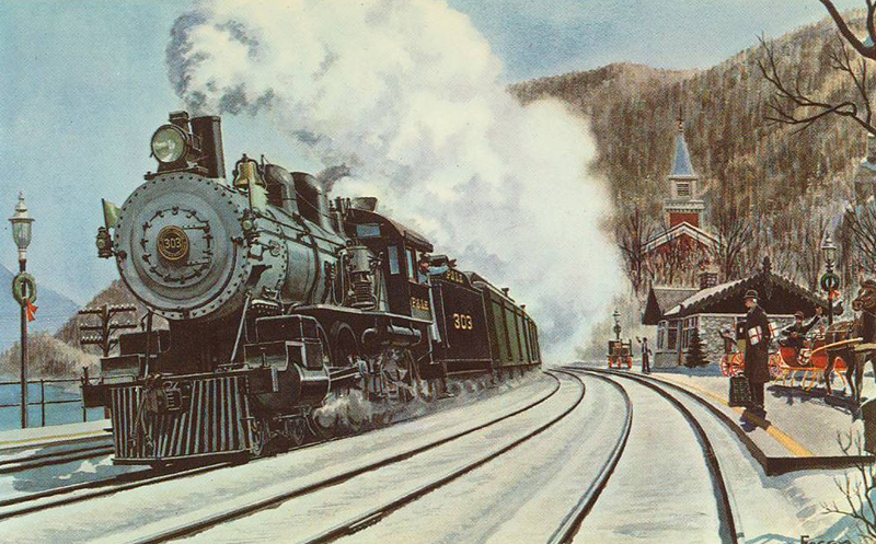
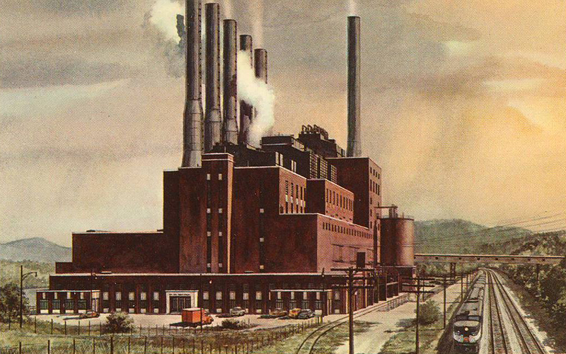
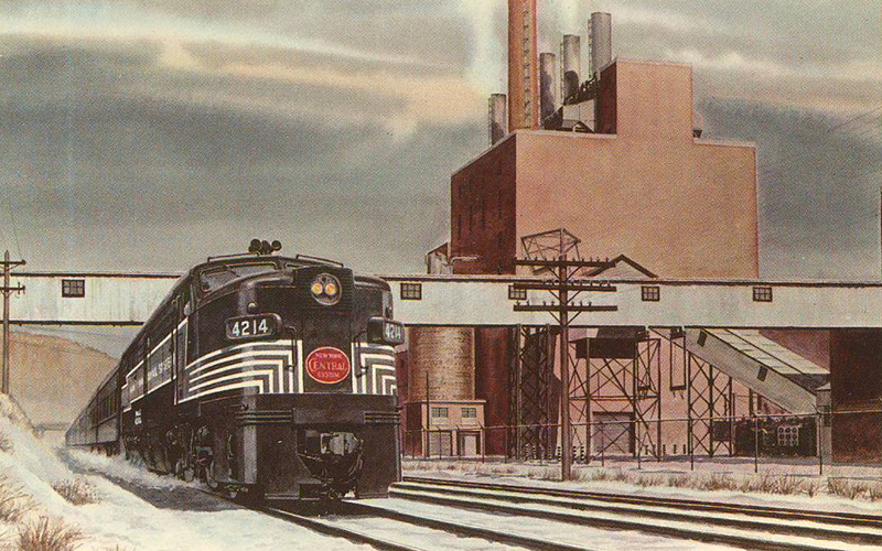
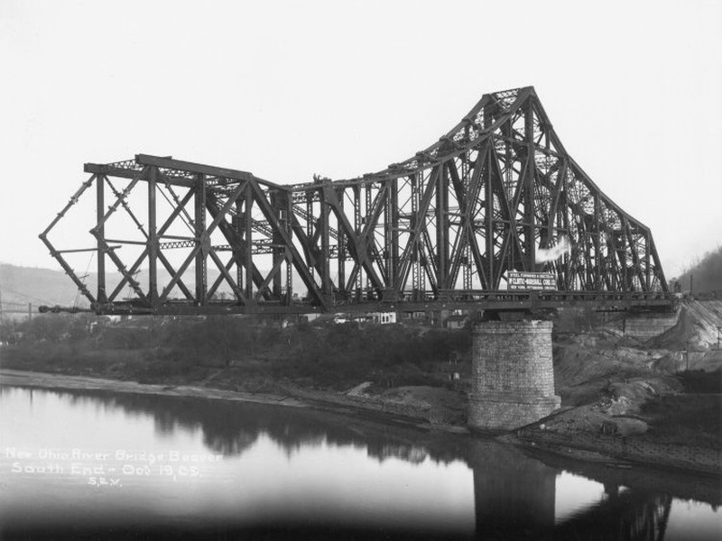
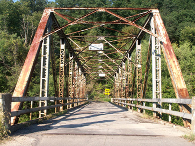
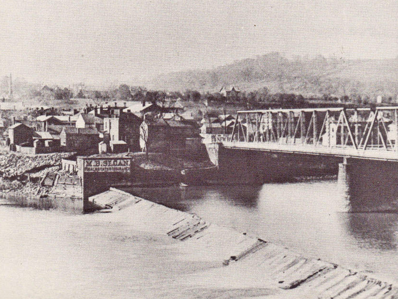
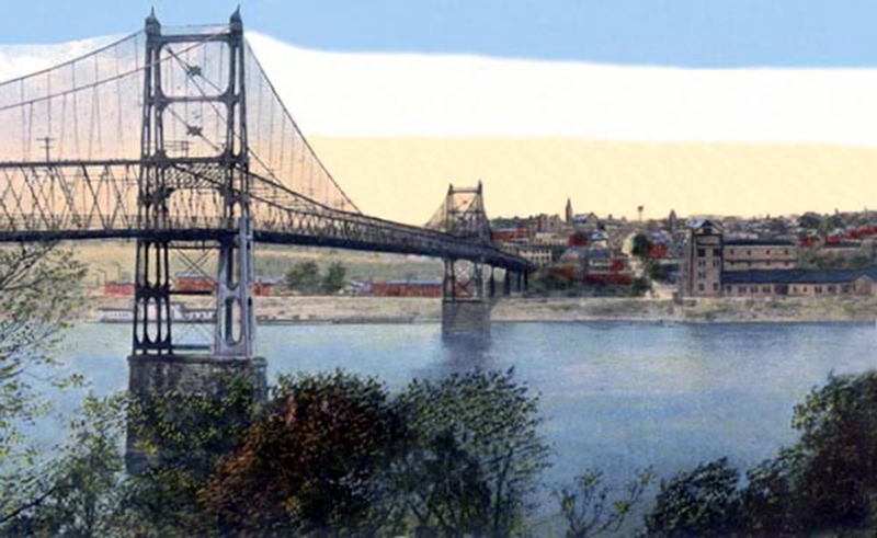
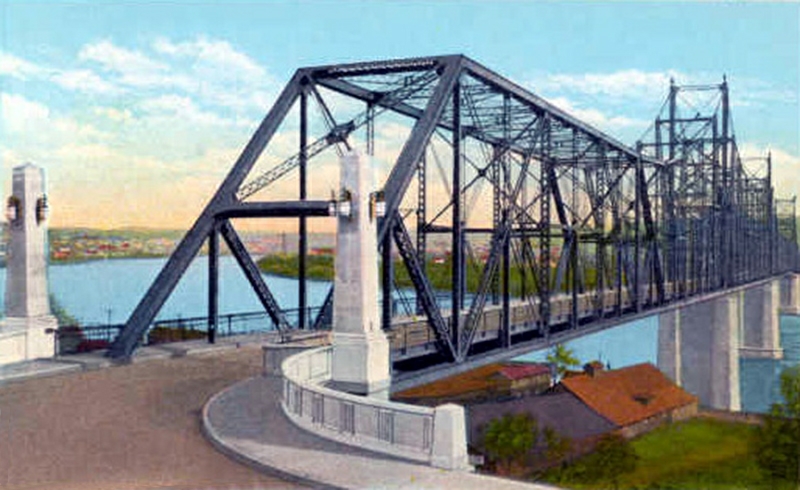
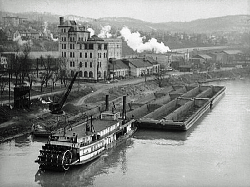
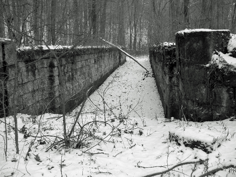
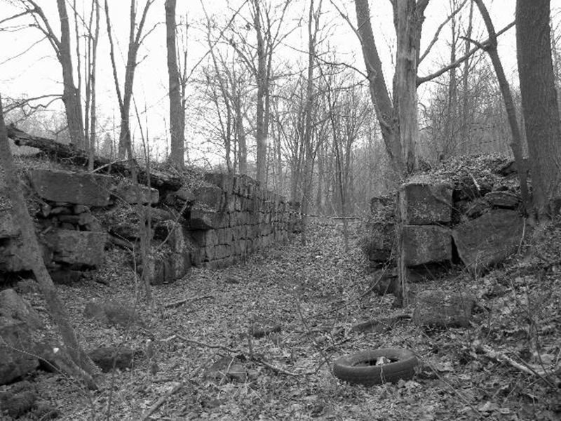
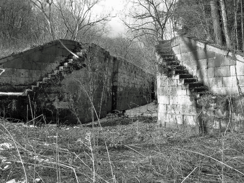
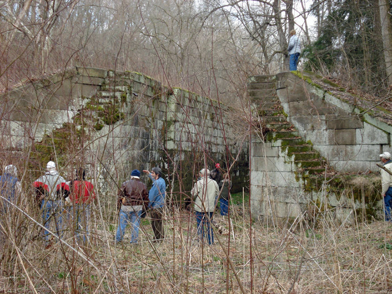
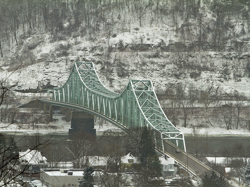
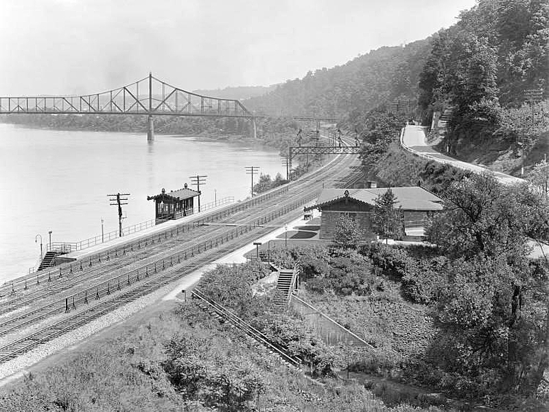
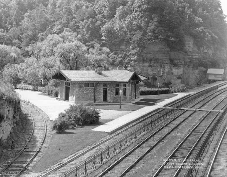
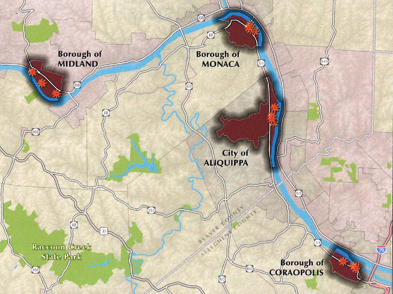
These targeted brownfields areas are located in the Borough of Monaca (11 estimated brownfield sites), the Borough of Coraopolis (6 estimated brownfield sites), the Borough of Midland (9 estimated brownfield sites), and the City of Aliquippa (9 estimated brownfield sites). Many of these brownfield sites are located directly adjacent to the Ohio River. These sites raise significant environmental and public health concerns for community residents, as many were utilized for steel making or steel making related industries, railroad related activities or for scrap metal. Many of the sites have outfalls from streams, which discharge directly into the river. The Ohio River is a very environmentally impaired water body as a result of these land-based uses, and the runoff from streets and impervious surfaces transport additional toxins in the river.
Project Vision
All the activities for this project are to enable the Borough of Monaca and our three partner communities to identify key brownfield sites in each of the targeted brownfields reuse areas and conduct site-specific brownfield reuse planning activities. This information will help facilitate brownfields site assessment and cleanup. The project vision is to use the Ohio River Trail greenway as the catalyst for determining viable brownfields site reuses along the trail corridor to assess cleanup needs. The brownfield site reuses are likely to include:
- A recreational/greenspace component;
- An economic component;
- An environmental component (i.e., on-site stormwater management/green infrastructure)
About the Grant
The Borough of Monaca received a $175,000 federal grant from the United States Environmental Protection Agency (EPA); Monaca officials applied for the grant, which will also be used by Midland, Aliquippa and Coraopolis to target so-called “brownfield” areas along the Ohio River. Monaca Manager Mario Leone Jr. said the grant is one of 23 community grants totaling $4 million awarded nationwide by the EPA. The pilot “community brownfields” program is designed to help communities identify the steps necessary to clean up sites and find potential uses for the properties. Leone said that although Monaca Borough applied for the funding, they were not counting on receiving it. Their intent was to get the local communities on the EPA’s radar so they could eventually receive grant funding in the future. “I’m really, really proud that we were able to get this, as challenging as it was,” Leone said. “We were really taking a stab in the dark on this thing.”
The EPA is piloting an area-wide planning approach to community brownfield challenges, which recognizes that revitalization of the area surrounding the brownfield site(s) is critical to the successful reuse of the property as assessment, cleanup, and redevelopment of an individual site. The area-wide planning approach will enhance EPA’s core brownfields assistance programs by encouraging continued meaningful involvement in a locally-driven planning process that will result in a strategy for making brownfields site assessment, cleanup and/or redevelopment decisions for the future. The pilot program will help further community-based partnership efforts within underserved or economically disadvantaged neighborhoods by confronting local environmental and public health challenges related to brownfields, while creating a planning framework to advance economic development and job creation.
What are Brownfields?
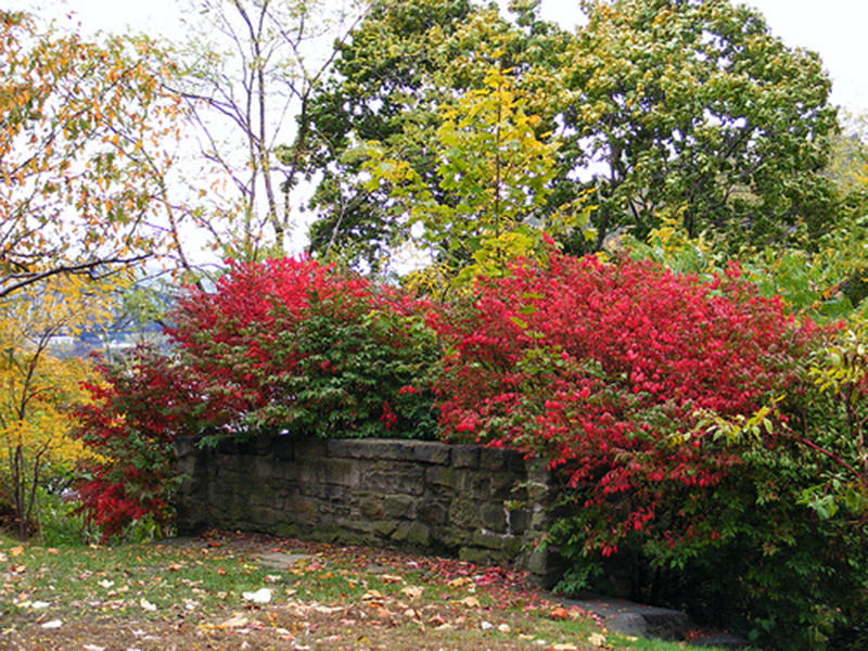
The EPA define brownfields as real property, the expansion, redevelopment, or reuse of which may be complicated by the presence or potential presence of a hazardous substance, pollutant, or contaminant. Cleaning up and reinvesting in these properties protects the environment, reduces blight, and takes development pressures off greenspaces and working lands.
Ohio River Brownfields AWP Draft Plan Presentation
Key Facts:
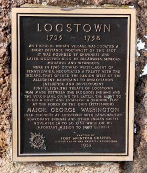
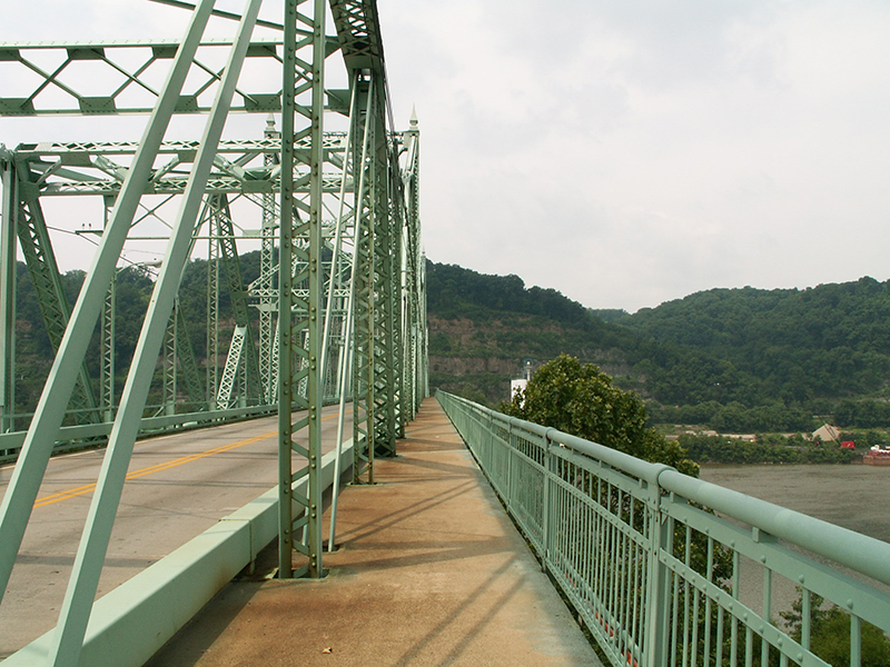
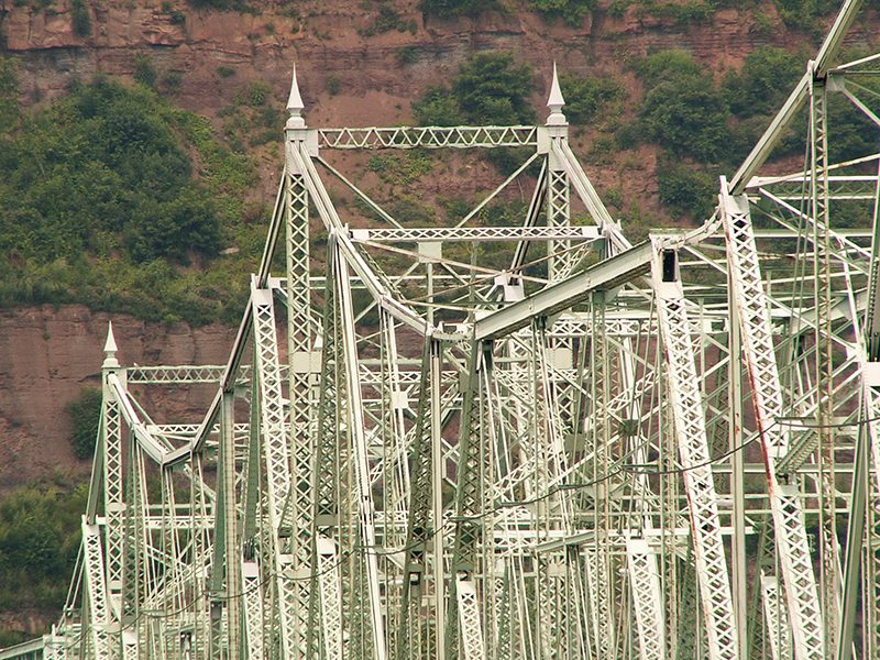
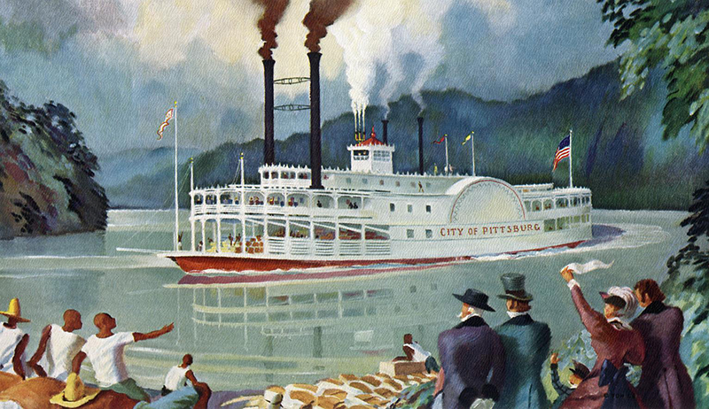
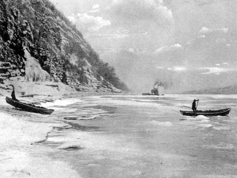
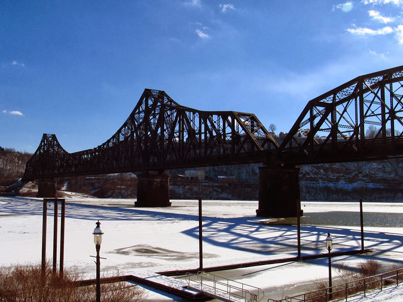
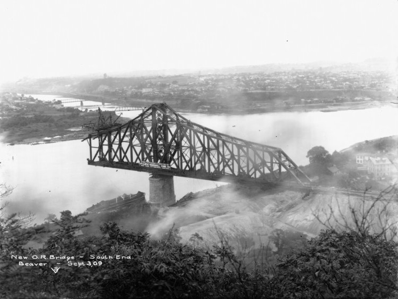
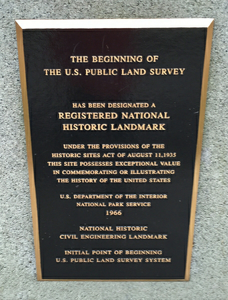
- Ohio River Brownfields Corridor is approximately 40 miles in length; the beginning of the 981 miles long waterway ending in Cairo, Illinois, where it flows into the Mississippi River.
- This project includes four target communities in two counties – Allegheny and Beaver
- The Ohio River is the source of drinking water for more than three million people.
- Non-point source pollution from urban runoff contributes significant amounts of contaminants to the river.
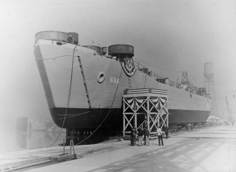
- The Ohio River System which includes its navigable tributaries annually accounts for 270 billion tons of commodities worth over $30 billion and supports approximately 100,00 jobs and $3 billion in annual income.
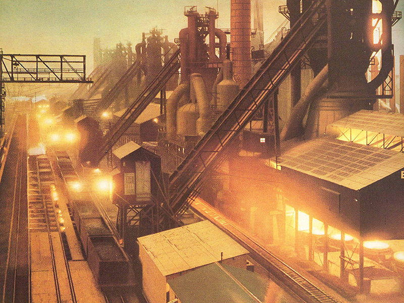
- Although this stretch has suffered from major steel plant closings since the late 1970s there is a significant amount of existing and new industrial activity including steel plants, specialty manufacturing and major new investment as a result of the shale gas industry and new technology businesses (PACyber) and the proposed Shell Ethanol (Cracker) Refinery.
- Click here to read more and download the presentation.
Ohio River Area-Wide Brownfields Planning Project Master Plan
Final Ohio River Area-Wide Brownfields Planning Project Master Plan for the brownfields reuse areas is completed and is available by clicking the link below. (Please note: links are temporarily unavailable)
-
- Ohio River Area-Wide Plan Brochure_Outside 1
- Ohio River Area-Wide Plan Brochure_Inside 2
- Ohio River Area-Wide Plan_Executive Summary
- Chapter 1_Ohio River Area-Wide Plan_About the Ohio River
- Chapter 2_Part 1_Ohio River Area-Wide Plan_Midland Borough
- Chapter 2_Part 2_Ohio River Area-Wide Plan_Midland Borough
- Chapter 2_Part 3_Ohio River Area-Wide Plan_Midland Borough
- Chapter 2_Part 4_Ohio River Area-Wide Plan_Midland Borough
- Chapter 3_Part 1_Ohio River Area-Wide Plan_Monaca Borough
- Chapter 3_Part 2_Ohio River Area-Wide Plan_Monaca Borough
- Chapter 3_Part 3_Ohio River Area-Wide Plan_Monaca Borough
- Chapter 3_Part 4_Ohio River Area-Wide Plan_Monaca Borough
- Chapter 4_Part 1_Ohio River Area-Wide Plan_City of Aliquippa
- Chapter 4_Part 2_Ohio River Area-Wide Plan_City of Aliquippa
- Chapter 4_Part 3_Ohio River Area-Wide Plan_City of Aliquippa
- Chapter 5_Part 1_Ohio River Area-Wide Plan_Coraopolis Borough
- Chapter 5_Part 2_Ohio River Area-Wide Plan_Coraopolis Borough
- Chapter 5_Part 3_Ohio River Area-Wide Plan_Coraopolis Borough
- Strategic Action Plan
Source: www.ohioriverbrownfields.com/
For more information www.epa.gov/brownfields/index.html
Facebook: https://www.facebook.com/pages/biz/community/Ohio-River-Brownfields-Projects-231554240537076/
Beaver, Lawrence counties get $1 million in EPA brownfield grants
By J.D. Prose
Posted May 29, 2014, at 12:01 AM
Updated May 29, 2014, at 4:00 AM
Beaver County will receive $600,000 and Lawrence County is in line for $400,000 in grants under the Environmental Protection Agency’s brownfields assessment program to reclaim former industrial sites and encourage redevelopment, the agency announced Wednesday.
In Beaver County, $400,000 will be used to fund up to 22 environmental site assessments on properties potentially contaminated with hazardous waste, while $200,000 in grants will fund up to 10 assessments for sites thought to have petroleum contamination.
“Both types of funding will be used to support community engagement activities and cleanup planning,” the EPA said on its website.
Those grants are part of a two-county effort dubbed the Ohio River Brownfields Coalition, which included Beaver County, Aliquippa, Midland, Monaca and Moon Township.
“Our Ohio River coalition is ready to move forward on revitalization and innovation, and we commend U.S. EPA for its continued partnership with Beaver County and its communities,” Beaver County Commissioner Dennis Nichols said in a statement.
“The Beaver and Allegheny County region along the Ohio River have been through major struggles with the decline of the steel industry, the loss of tens of thousands of jobs, and major environmental contamination challenges,” the county’s statement read, “but Beaver County and its partners are poised to continue their progress to transform these brownfields into a vibrant corridor of new advanced manufacturing, mixed-used sustainable development, a key segment of the Ohio River Trail, and new community park and recreational areas.”
Nichols said the potential sites do not include the Potter Township property that formerly housed the Horsehead Corp. zinc plant, where Shell Oil Co. is considering building a $2.5 billion ethane cracker plant.
Lawrence County’s funding will be used to assess sites with possible petroleum and hazardous-waste contamination. “The funds will be used for reviewing the list of proposed sites targeted for the next level of environmental site assessment,” the EPA said.
The Ohio River Coalition Regional Design Initiative
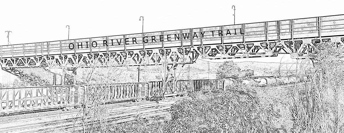
Stromberg/Garrigan & Associates (SGA) is actively implementing projects of all scales as a result of the framework plan that emphasizes the Ohio River as the region’s common resource. Originating out of a resident-led effort to create a continuous Ohio River Trail that would link Station Square on Pittsburgh’s South Side to the Ohio State Line, SGA determined a strategy for incrementally create public access along and to the Ohio River in 28 separate municipalities.
Realizing that the trail could be the mechanism to engage larger thinking of regional brownfield issues, SGA led a series of planning and design efforts along the Ohio River Corridor that focus on addressing environmental concerns while expanding economic development opportunities of all types.
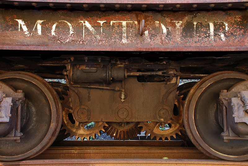
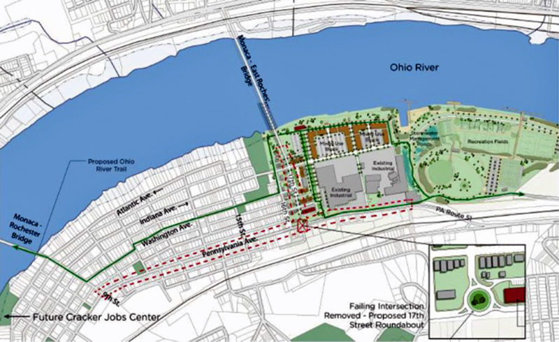
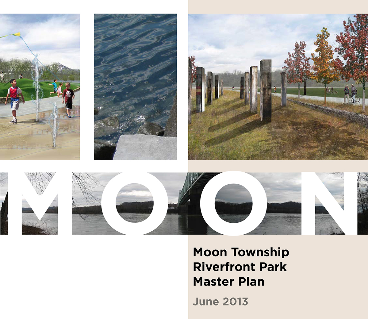
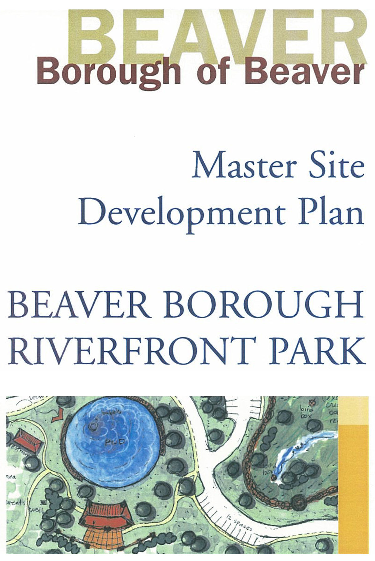
Design and implementation projects range from site reuse plans for 21st-century industry to multiple public park projects. SGA is currently leading the Monaca Pennsylvania Avenue Gateway Transportation Project that includes final design and engineering of new roundabouts, integrated blue/green technologies, urban design, and adjacent infill mixed-use development to support the adjacent $10B Royal Shell Petrochemical Plant under construction. Other active projects include final design engineering of the Montour Trail to Sewickley Bridge Trail, the remedial action plan and final engineering of the Moon Township Riverfront Park on the former RB&W plant, and a park master plan for the former U.S. Department of Defense Potter Airplane Fuel Tank Farm.
SGA Ohio River Coalition Plans and Projects:
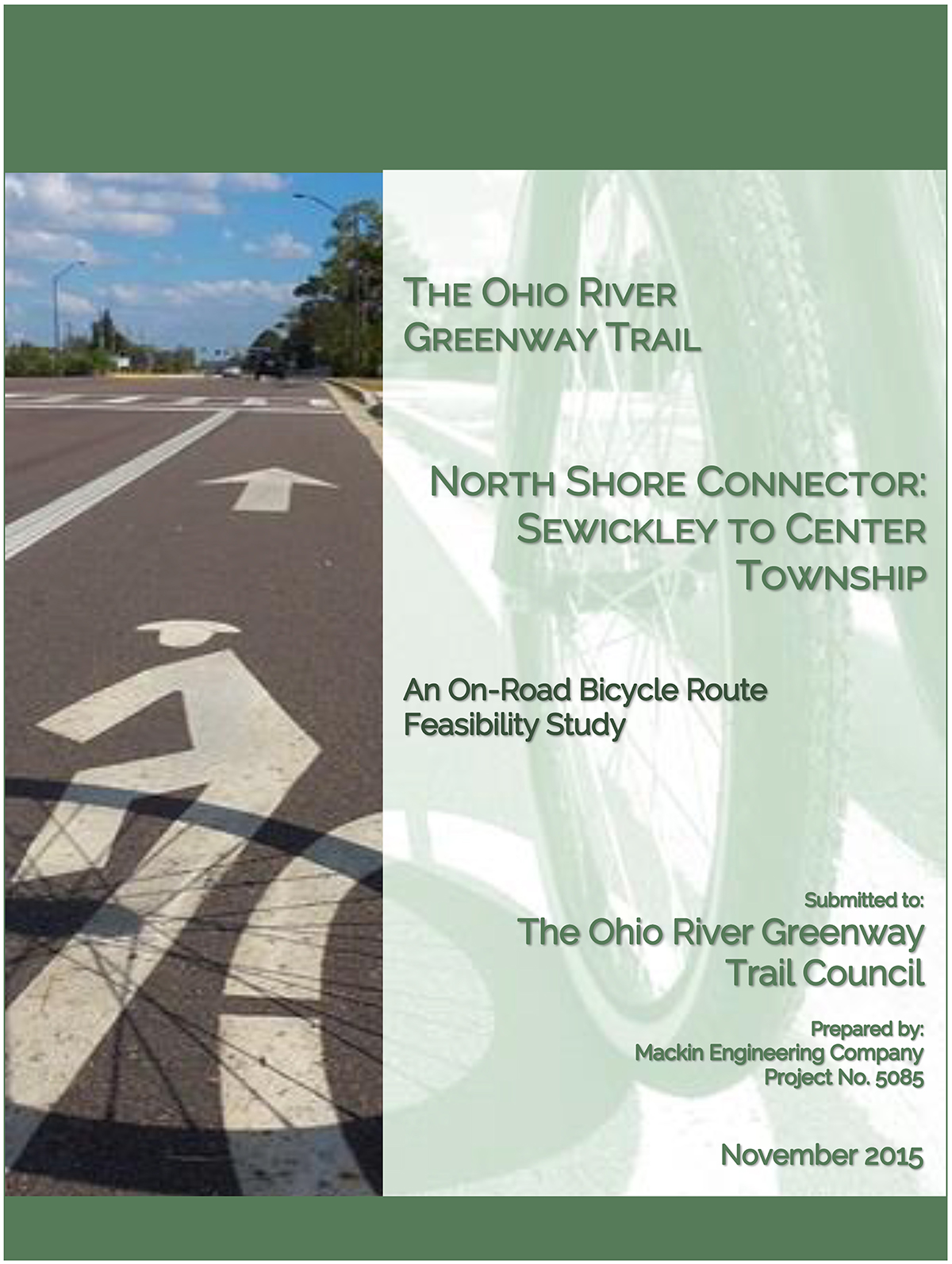
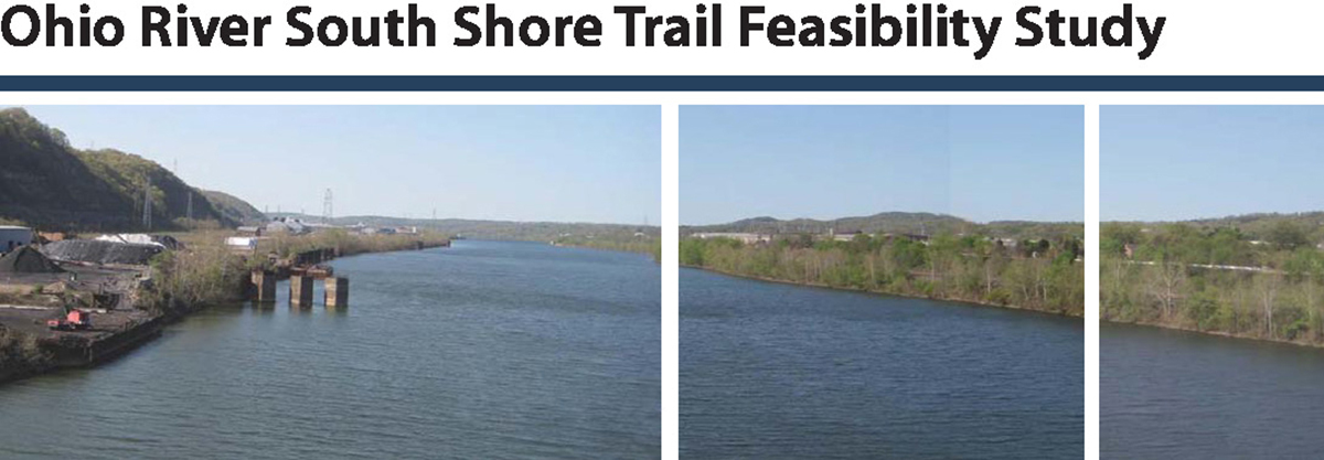
- Ohio River South Shore Trail Feasibility Study
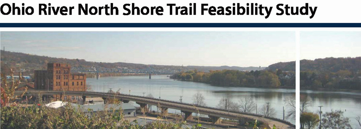
- Ohio River North Shore Trail Feasibility Study
- U.S. EPA Ohio River Coalition Communities Brownfields Area-Wide Plan
- U.S. EPA Ohio River Coalition Assessment Grant Project
- Former RB&W Plant Moon Township Riverfront Park Master Plan and Remedial Design/Engineering
- U.S. EPA Brownfields Area-Wide Plan Implementation Technical Support – Monaca Borough
- Pennsylvania Avenue Gateway Transportation Project Final Design and Engineering
- Pennsylvania Avenue Brownfields Corridor Urban Design and Infill Development Plan
- Antoline Park Master Plan and John Antoline Memorial Pavilion Final Architectural Design
- Park Master Plan for the former U.S. DOD Potter Tank Farm Airplane Fuel Tank Farm
- Aliquippa Former Dump Reuse and Remedial Action Plan
- Aliquippa Bricks Site Housing Infill Plan
- J&L Steel Plant and Jones Run Reuse Plan
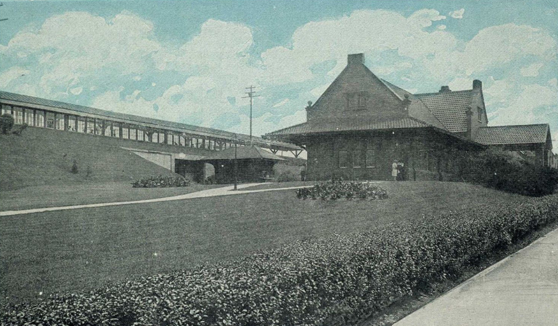
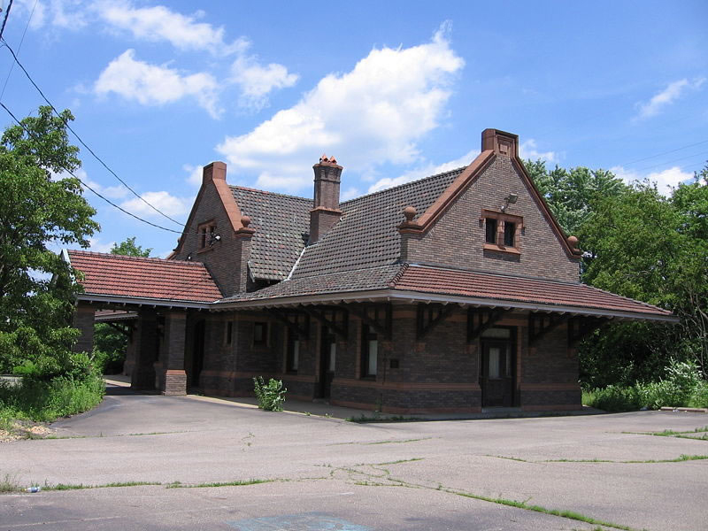
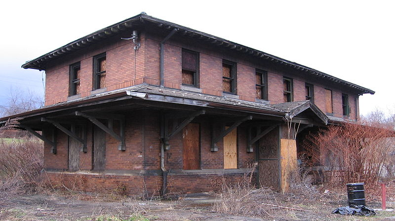
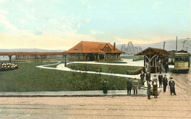
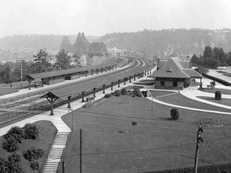
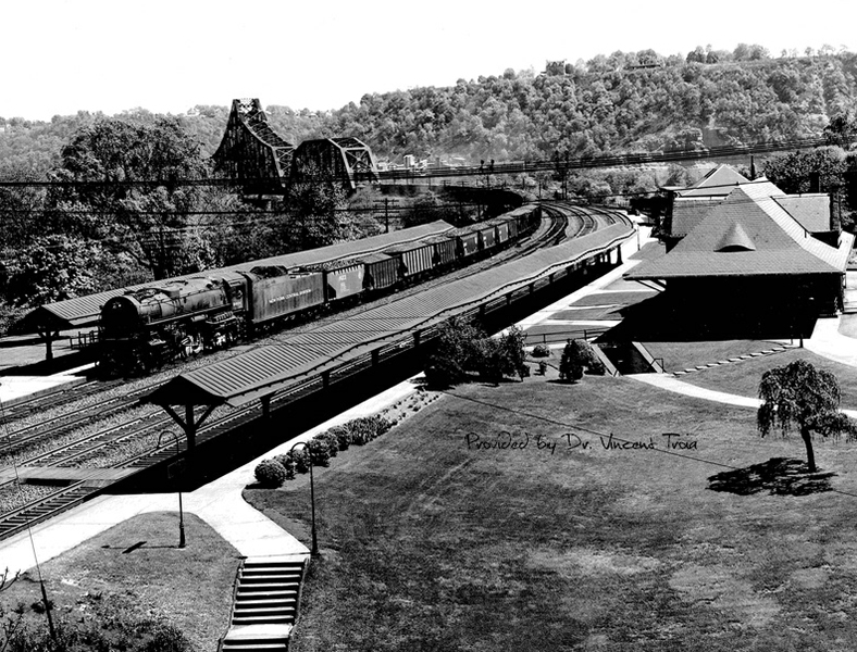
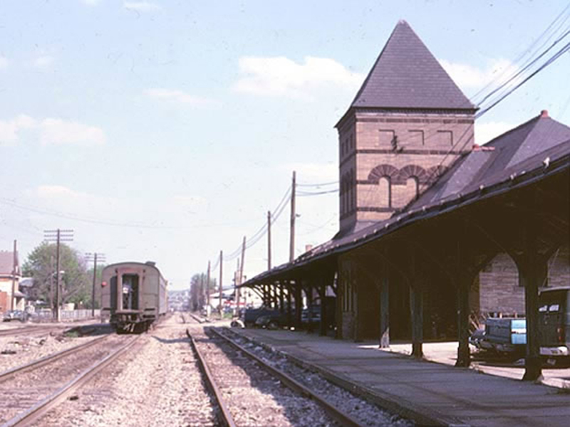
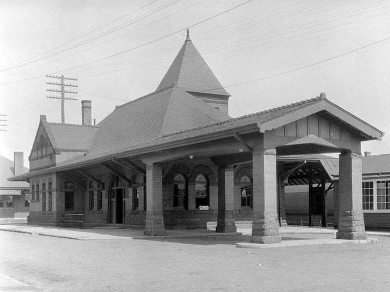
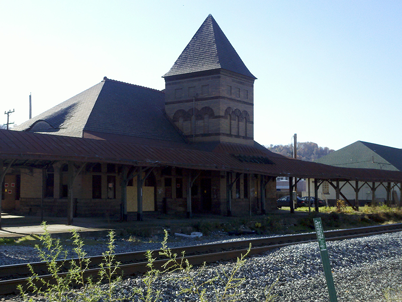
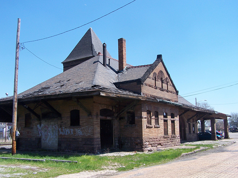
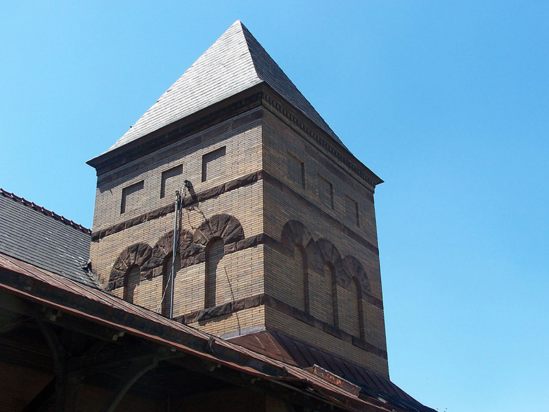
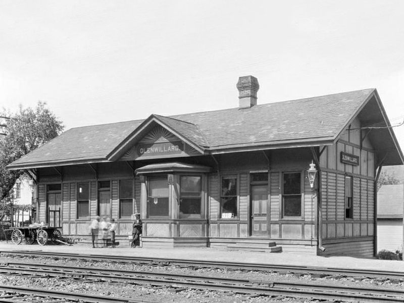
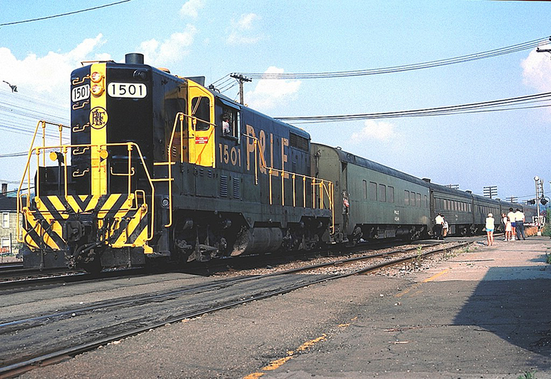
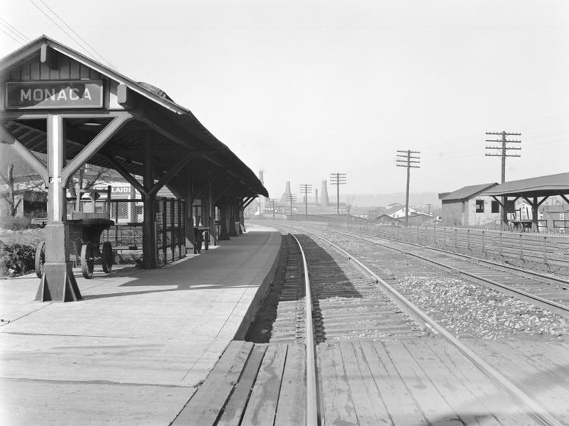
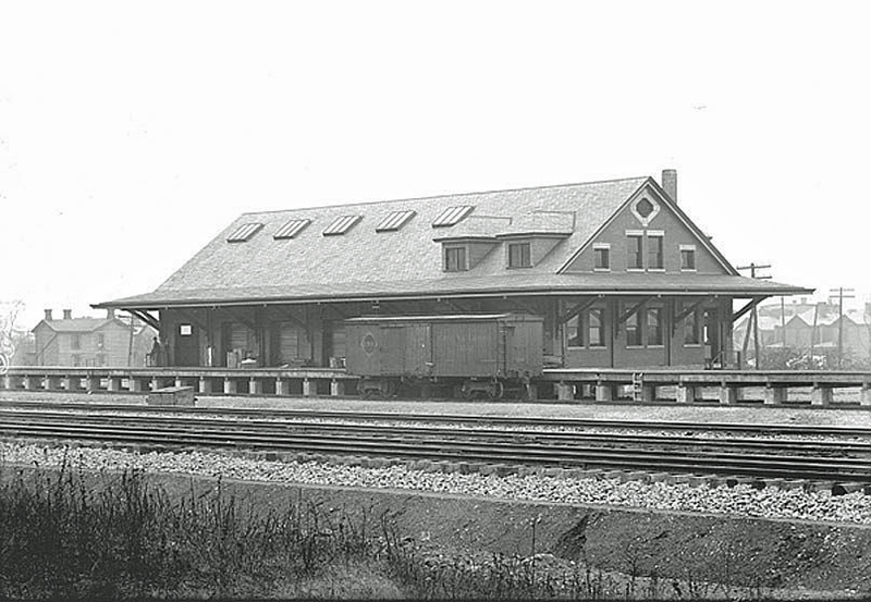
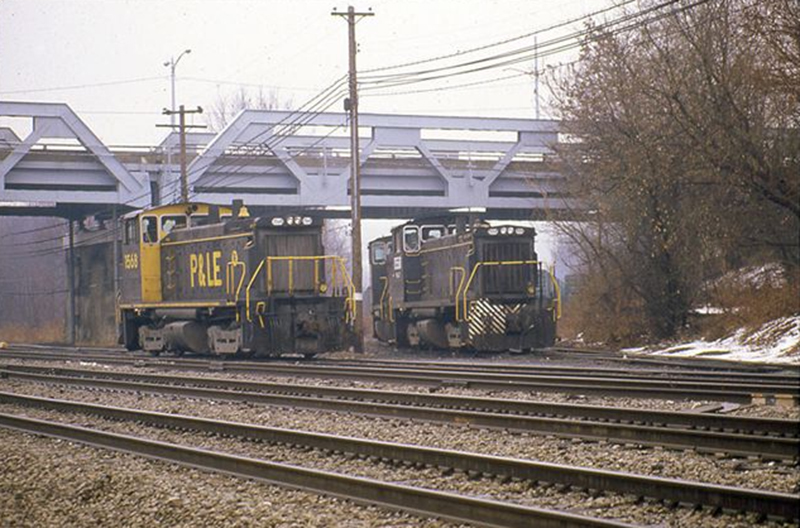
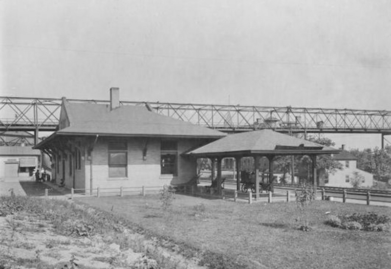
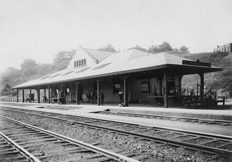
- Historic Coraopolis P&LE Train Station Reuse and Redevelopment Plan
- Coraopolis Ohio River Back Channel Reuse Plan
- Former Pennsylvania Tool & Die Industrial Reuse and Remedial Action Plan
- Friends of the Riverfront Station Square to Montour Trail Feasibility Study
- Montour Trail to Sewickley Bridge Off Road Multi-Use Trail Final Design and Engineering
- Midland Railroad Avenue Corridor Redevelopment and On-Road Trail Plan