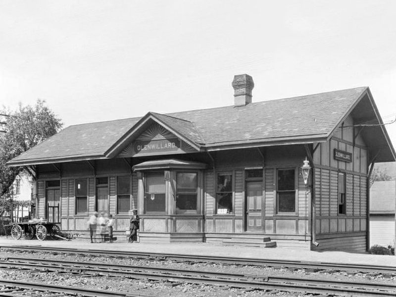
Aleppo Sewickley Glen Osborne Joint Comprehensive Plan
Aleppo Sewickley Glen Osborne Joint Comprehensive Plan
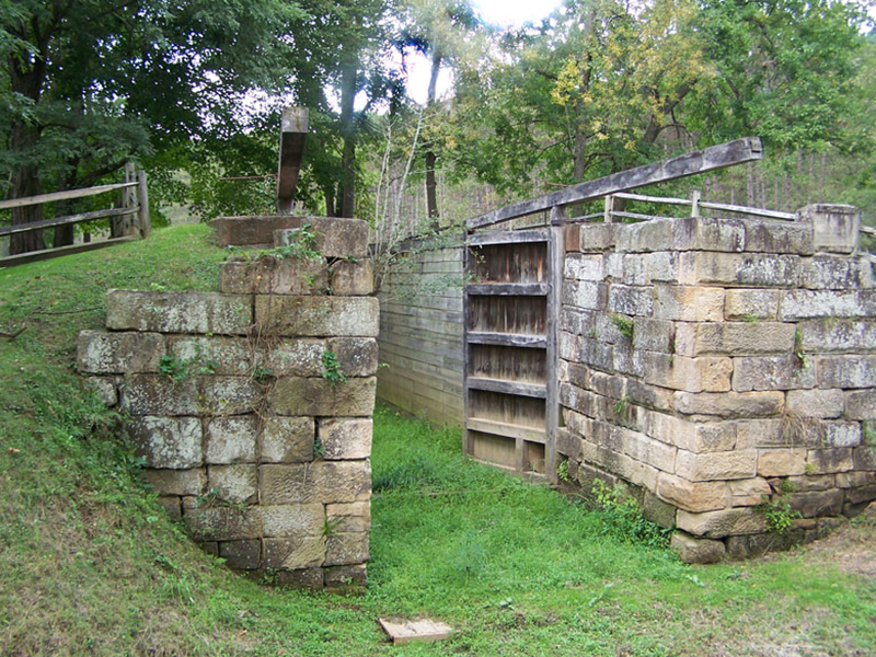
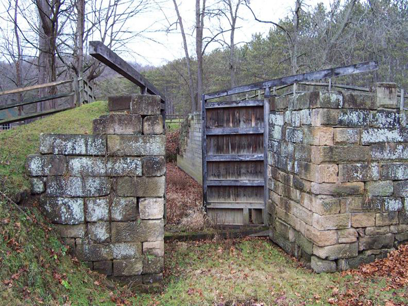
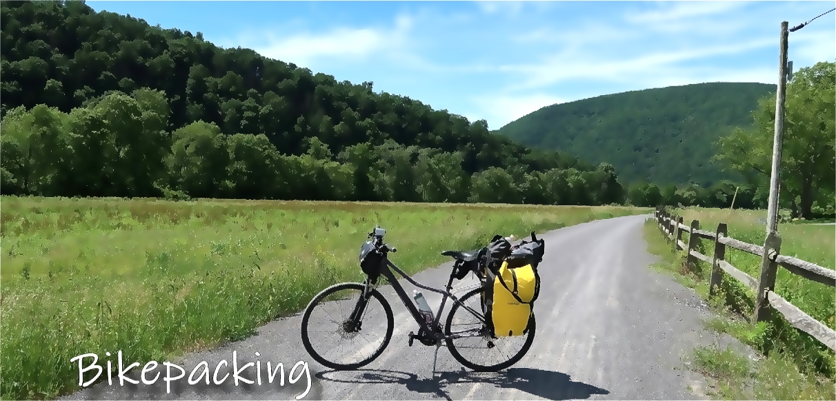
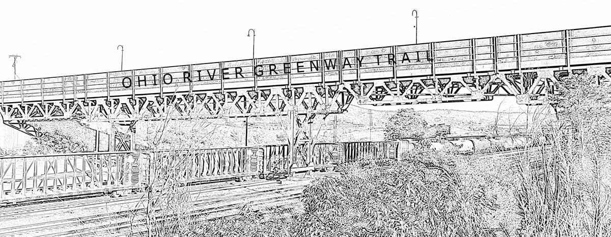
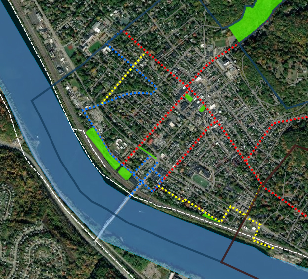
The Borough of Sewickley has approved the Ohio River Greenway Trail Route as shown in the Aleppo Sewickley Glen Osborne Joint Comprehensive Plan. See map below or click here to visit the arc gis.
- Priority Bicycle/Pedestrian Upgrade Corridor (Red)
- Priority Pedestrian Corridor (Yellow)
- Ohio River Greenway Trail Route (Blue)
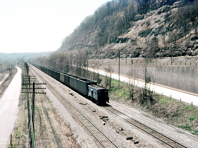
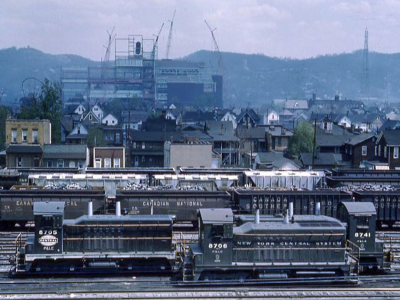
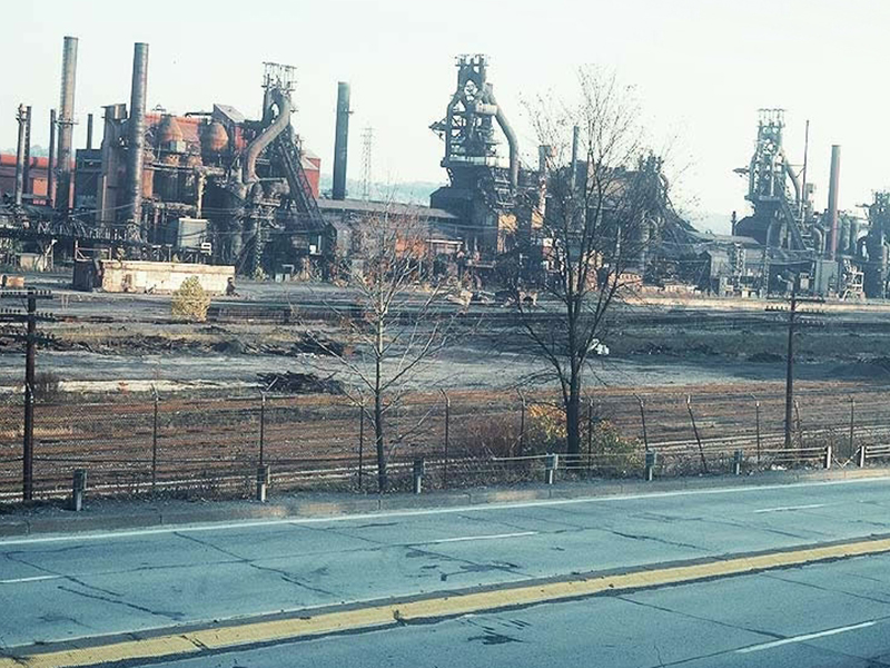
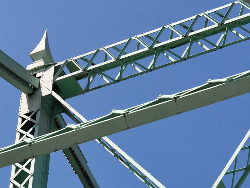
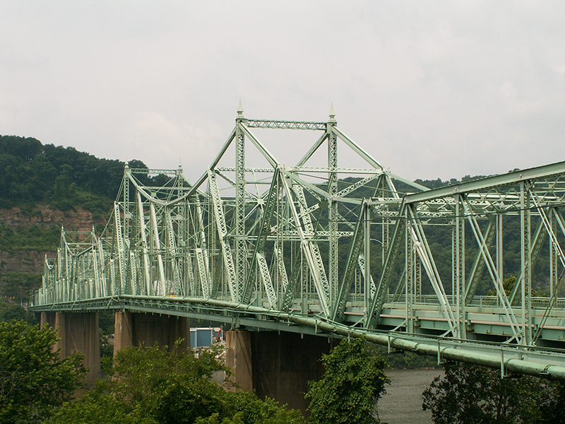
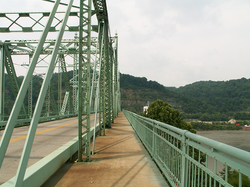
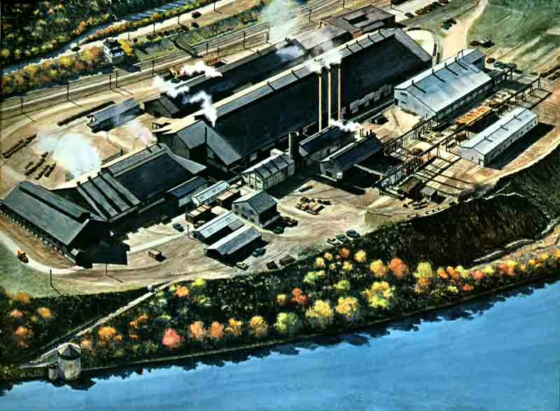
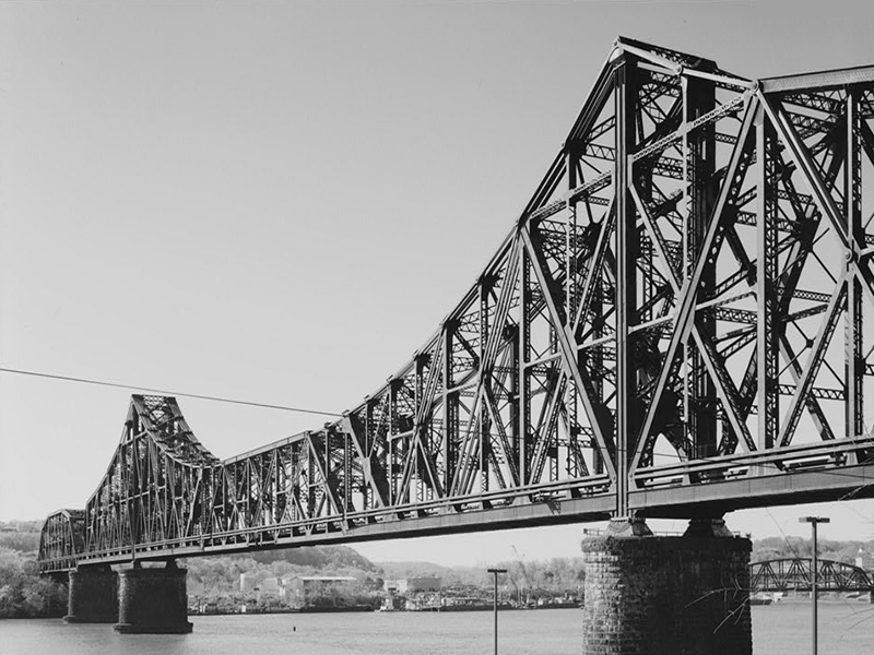
The transportation system in northwestern Allegheny County plays a significant role in connecting Aleppo, Glen Osborne, and Sewickley to one another and to the rest of the Pittsburgh region. In addition to handling vehicular traffic, the design of street networks, roadways, streetscapes, and sidewalks has large implications on development and redevelopment strategies. Connectivity improvements, such as trails and walking paths, are a significant component of a community’s recreational amenities. In turn, these amenities comprise a significant portion of a community’s transportation infrastructure.
Improved connectivity can benefit the three communities of Aleppo, Sewickley, and Glen Osborne in a variety of ways. It can promote community identity and character, serve as a means of promoting economic development and redevelopment, and augment existing park and recreational amenities. Resolving disconnection can promote safe links between neighborhoods and points of interest, improve connections between all types of land uses, and expand mobility options for both residents and commuters.
Building on the Transportation Plan from the 2007 Joint Comprehensive Plan, the map identifies several types of improvements that can improve connectivity in the three communities. The three municipalities have compiled potential strategies for complete streets improvements. These strategies will help improve the quality of connectivity within the communities.
The map outlines a number of key streets where improvements can be made for the purposes of a safer or more welcoming experience for pedestrians and bicyclists. The street corridors shown in red are prime candidates for upgrades to pedestrian and bicycle facilities, while those shown in pink represent potential pedestrian corridors. The blue line shown is the route of the Ohio River Trail in Sewickley, as approved by the Borough.
The bicycle corridors outlined on the map were those identified in meetings involving the three communities. For most of the roads shown (those with low to gentle grades), it is recommended that shared lane markings (“sharrows”) be painted on the pavement in both directions to alert users to the appropriate location and direction of traffic for both motor vehicles and bicycles. For roads with moderate to moderately-steep grades, such as Water Works Road, Glen Mitchell Road, and Deer Run Road, it is recommended that lanes be shifted laterally where possible to provide space on the uphill side of traffic for a wider lane that allows for the safe passing of bicyclists or a dedicated bicycle lane.