OHIO RIVER TRAIL COUNCIL

"Joining Communities through fitness, recreation, heritage, and transportation networks

Washington's Trail 1753

Washington's Trail 1753

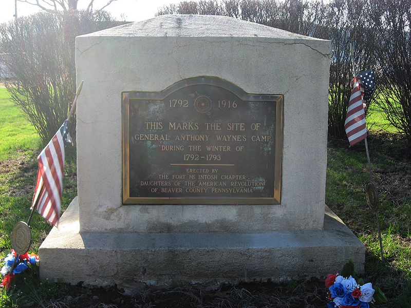
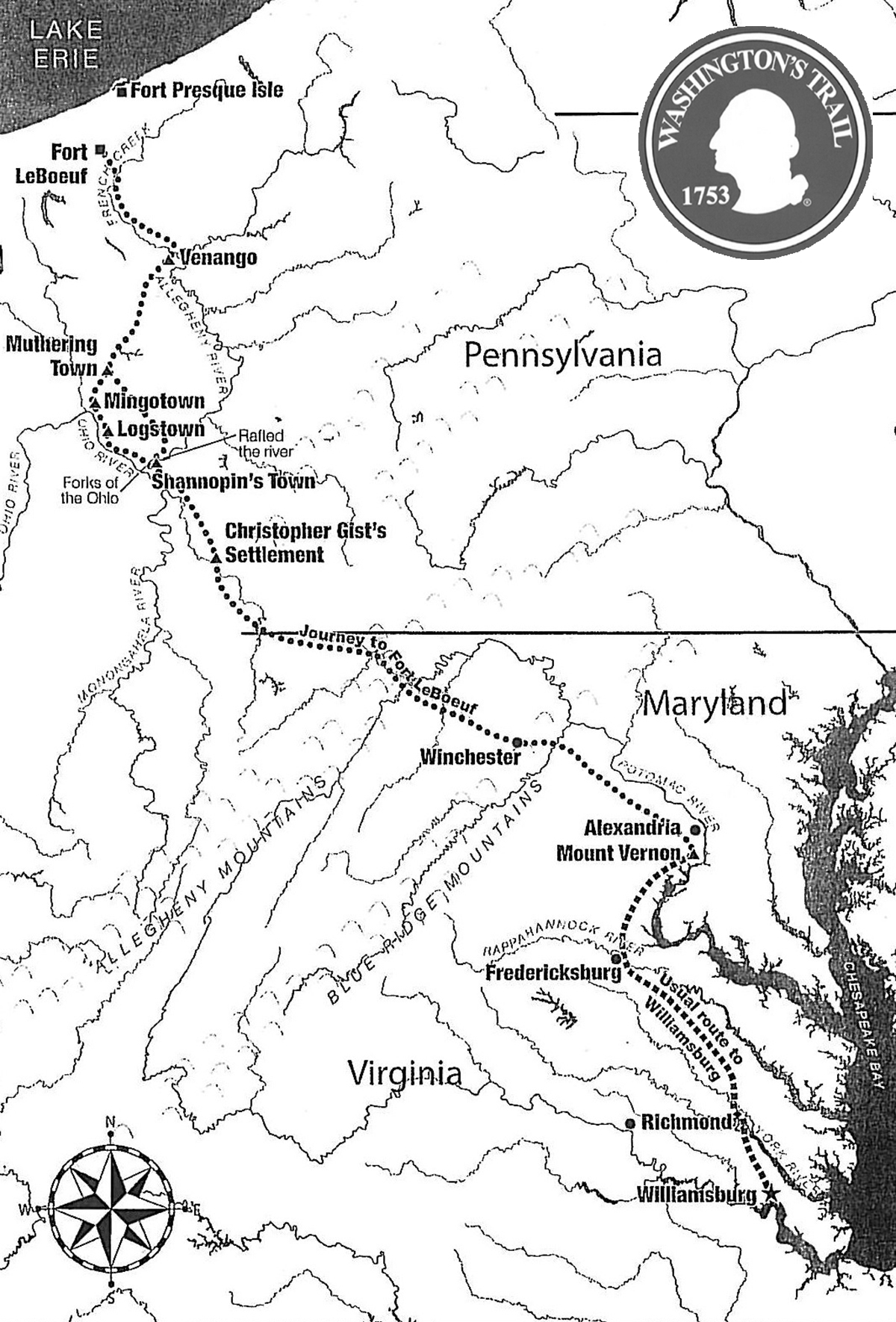
Washington’s Trail 1753 is a project to commemorate 21-year-old George Washington’s first military diplomatic mission from Williamsburg, Virginia, through French-controlled territory to Fort Leboeuf in western Pennsylvania, a 1000-mile round-trip journey. The purpose of this dangerous trip was to order the French to abandon their posts and forts in this territory claimed by the British. 
 
In the early part of the eighteenth century, the trans-Appalachian region of North America remained much as it had been for the preceding centuries. Some trappers and backwoodsmen—Frenchmen from Canada and Englishmen from the British colonies—traveled through its woods and rivers, but the principal occupants of the region were Native Americans and a great diversity of wildlife. As the British colonies became more populated and prosperous, their citizens began to look towards the rich lands across the Appalachian Mountains as providing new opportunities for settlement and economic growth. 
 
 
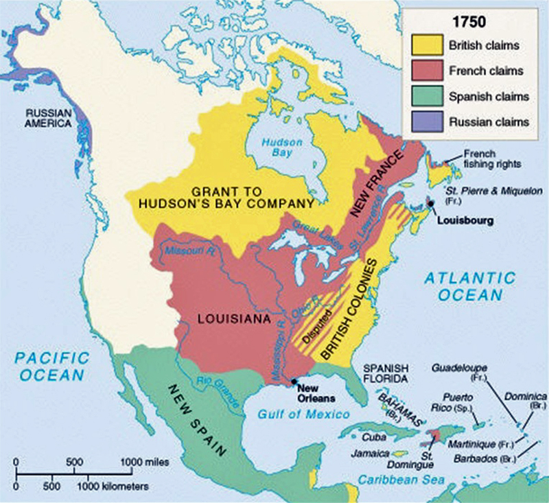
The French, who claimed the entire watersheds of the Mississippi and St. Lawrence Rivers—which included the Great Lakes and the Ohio River Valley—became worried about British encroachments into this region. In 1750, British and French representatives met in Paris to try to solve these territorial disputes without resolution. 
 
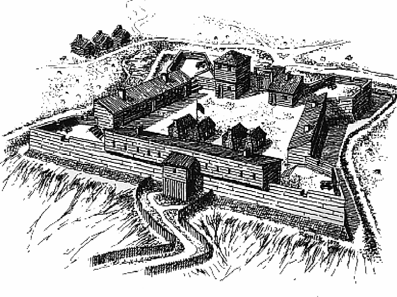
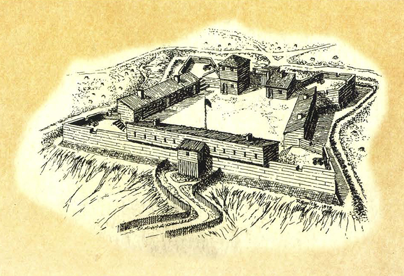
In 1752, the governor-general of New France Marquis Duquesne’s assignment was to take possession of the Ohio Valley by removing all British presence from the area. The following year, he sent troops to western Pennsylvania where they built forts at Presque Island (Erie) and on the Riviére aux Boeufs (Waterford). 
 
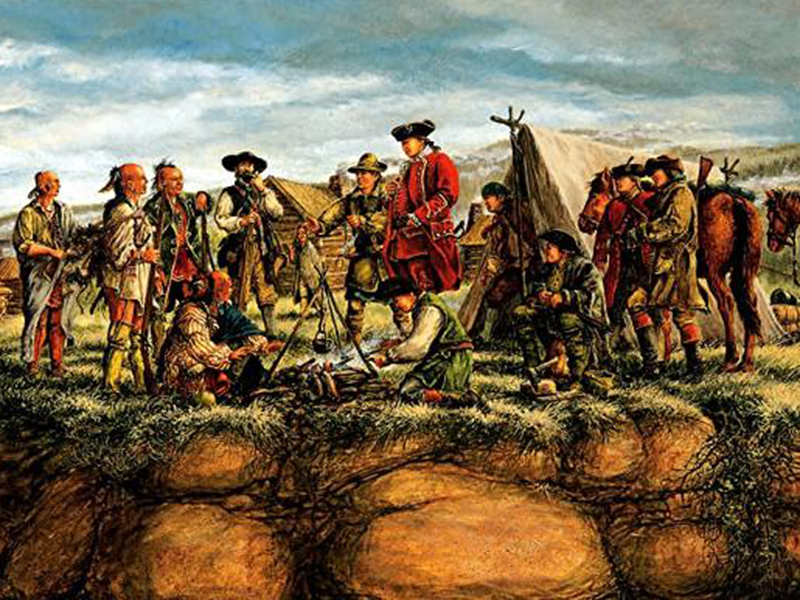
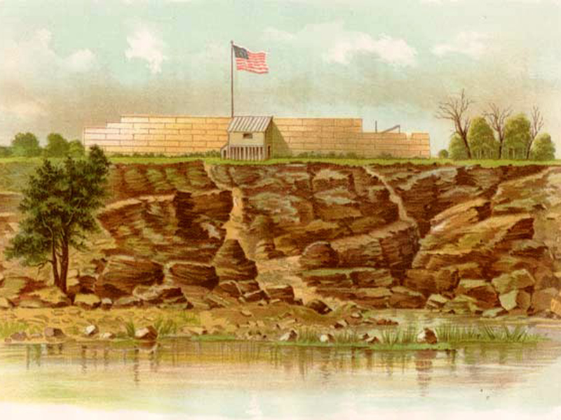
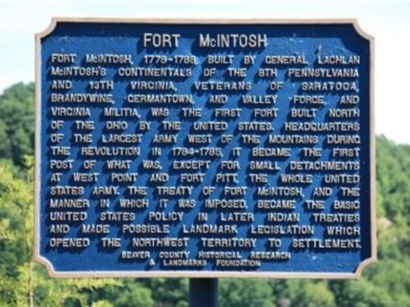
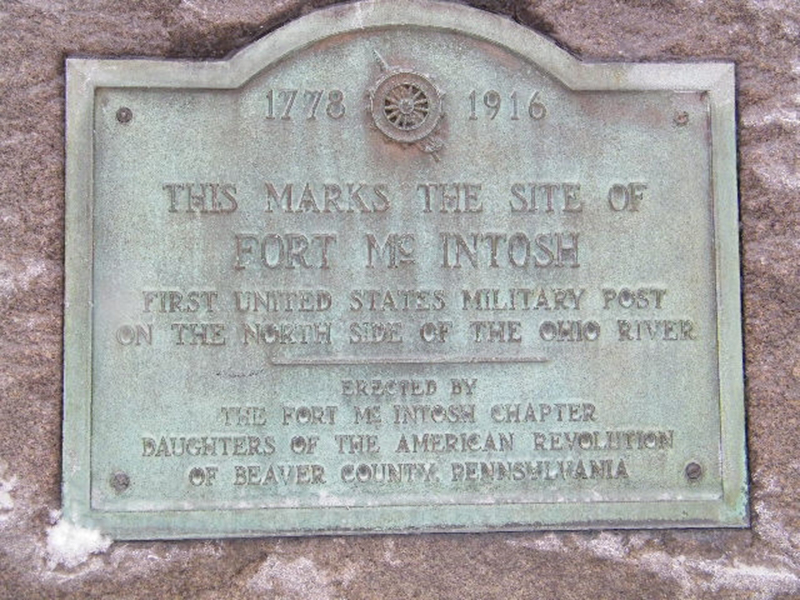
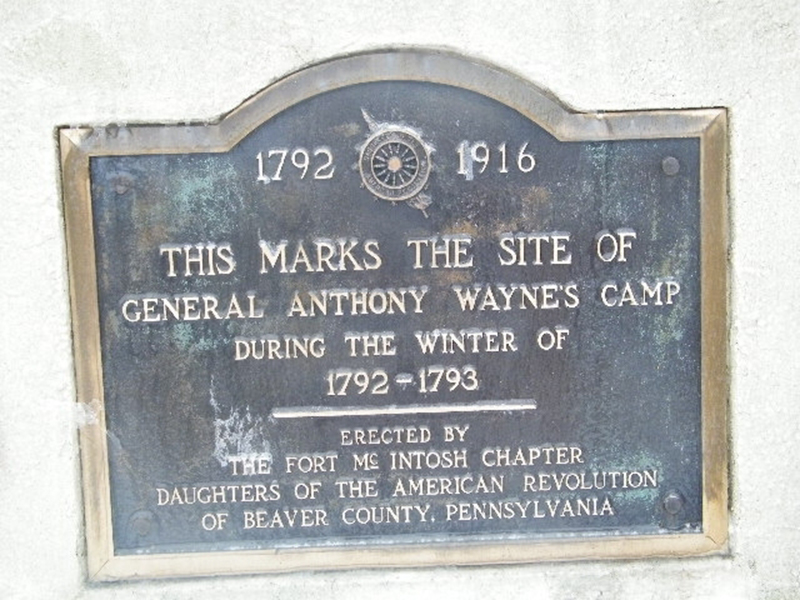
The British, at the same time, were building built their own forts. Robert Dinwiddie, Lieutenant Governor of Virginia, whom was granting land in the Ohio Valley to the Ohio Company and adventurous traders and citizens of his colony, heard of the new French forts on the upper Allegheny River, sent out a young Virginia officer, George Washington, to deliver a letter demanding that the French leave the region. This mission was, not surprisingly, a failure and set in motion the events, which inevitably led to the French & Indian War.
 
Washington’s Trail 1753 marks this journey by Washington as an important historic resource as a prelude to the French and Indian War and the roots of the American Revolution. 
 
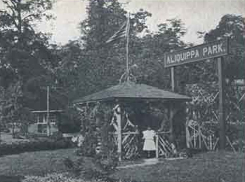
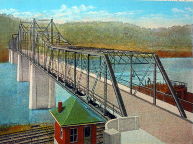
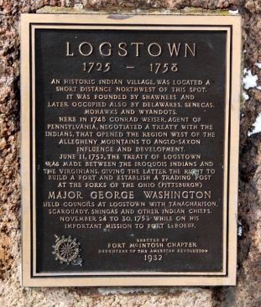
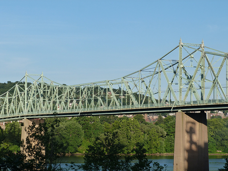
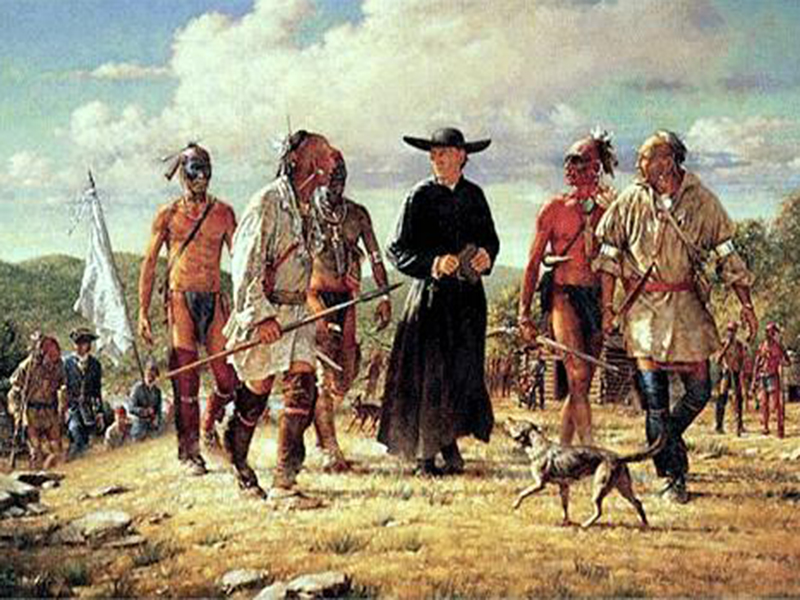
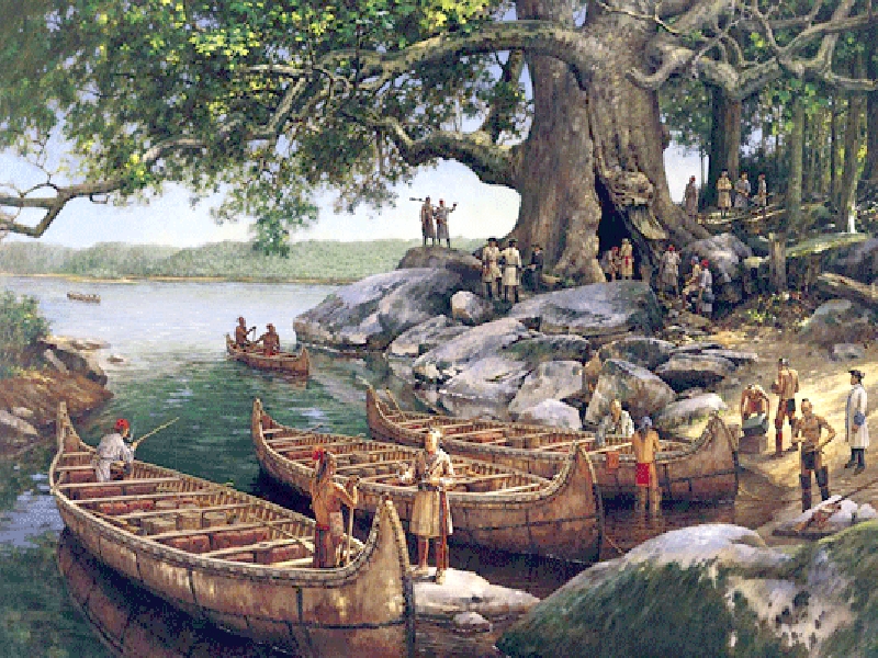
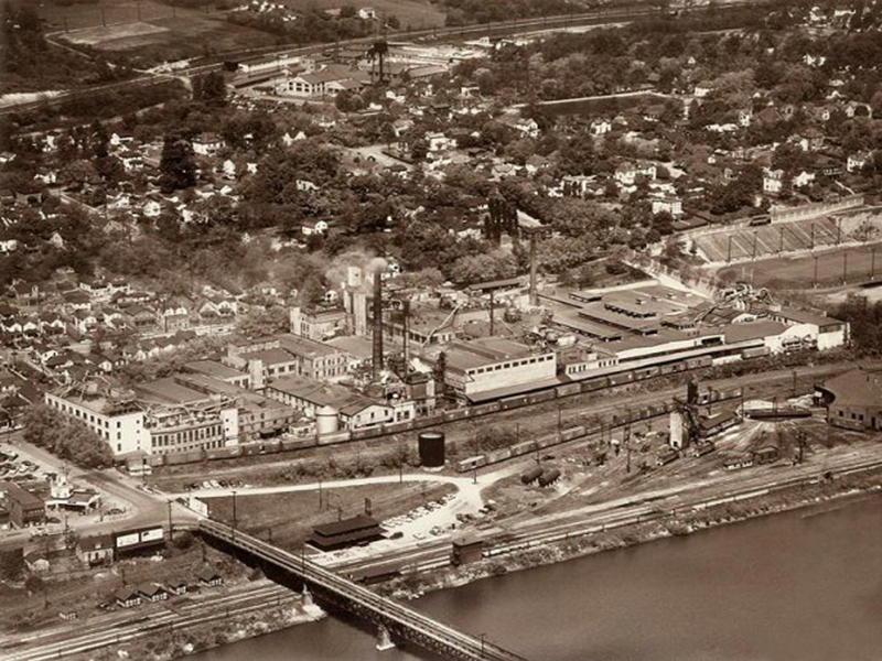
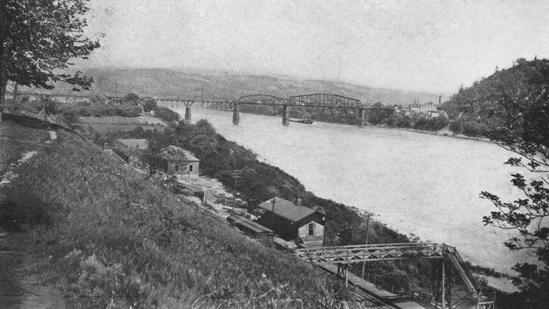
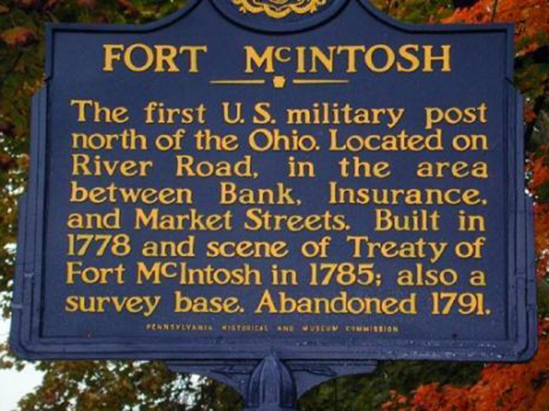
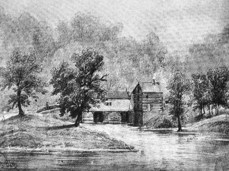
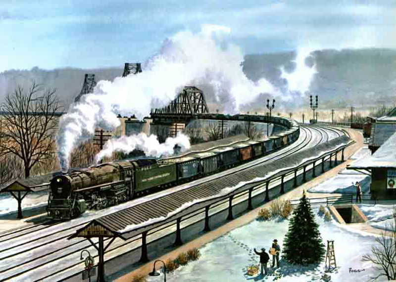
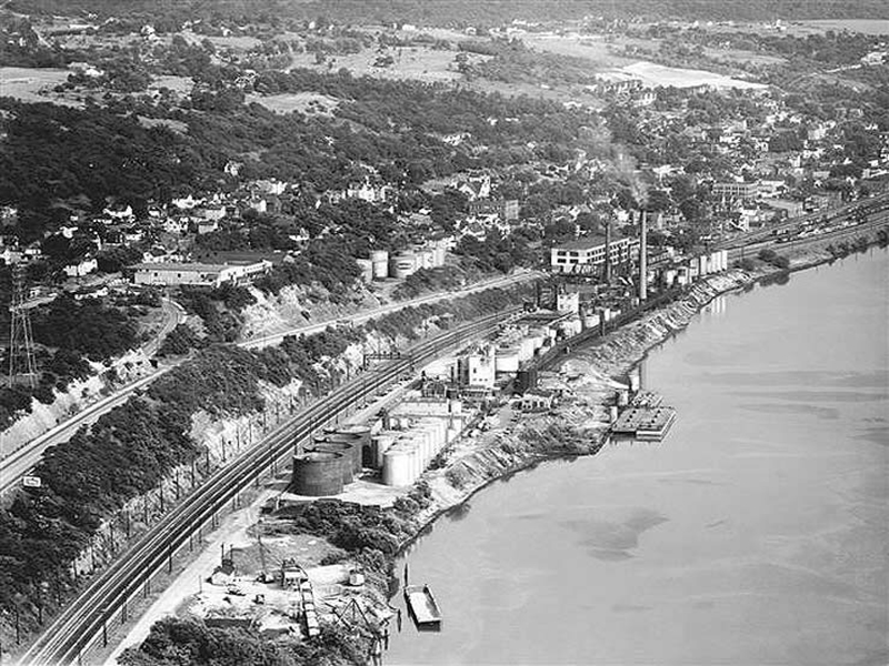
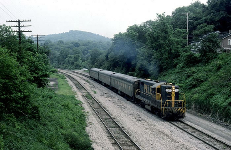
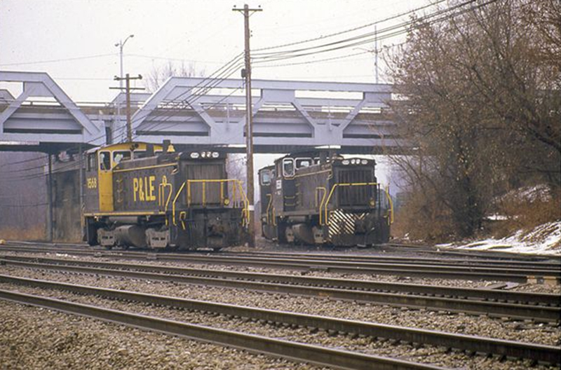
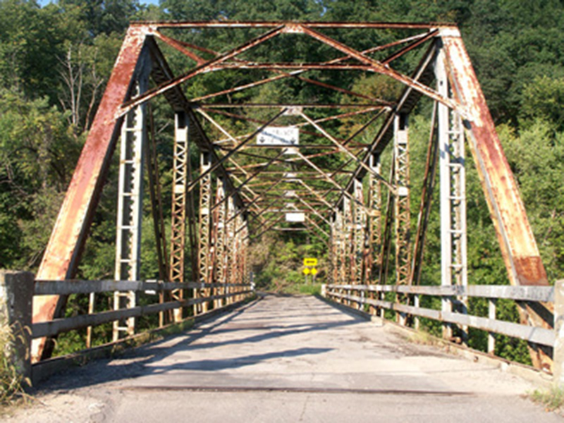
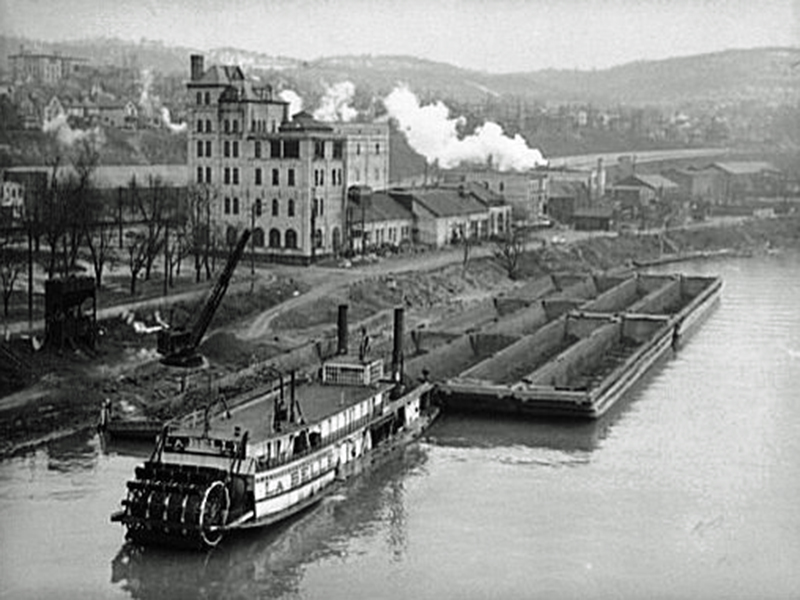
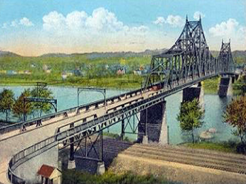
George Washington made his first venture in western Pennsylvania in late 1753 at the age of 21.  From the mouth of the Turtle Creek on the Monongahela River, he traveled by canoe to the “Forks of the Ohio,” what is now Pittsburgh where he met the King of the Delawares, Shingiss.  Shingiss accompanied Washington to Logstown, Ambridge, a principal Indian village and an important trading center on the Ohio River, where Washington enlisted chiefs Tanacharison and Monacatootha (Monaca’s namesake) as guides to the French forts further north. They traveled the Logstown Trail, which followed the Ohio River (Route 65) to Crow’s Town, at the beginning Of Crow's Run, then eastward (to Route 989) past Big Knob then north (Route 68) through Zelienople and on towards Fort Leboeuf.
 
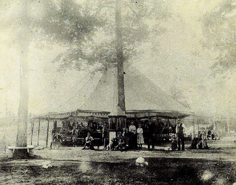
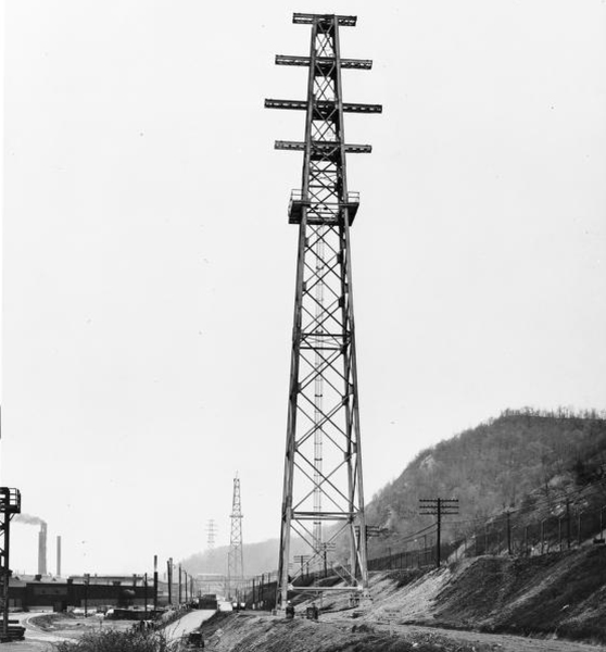
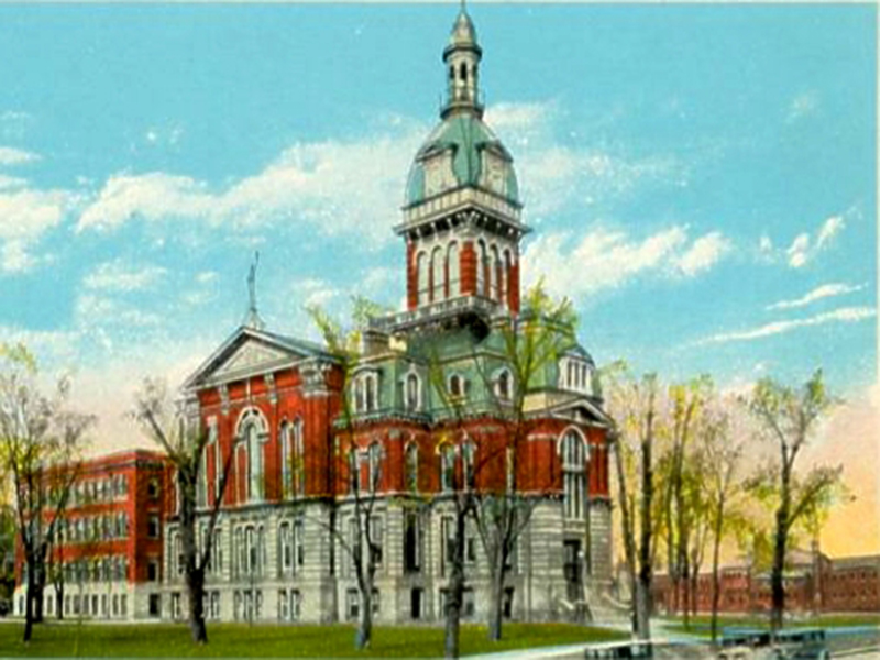
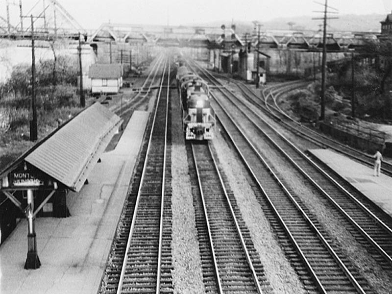
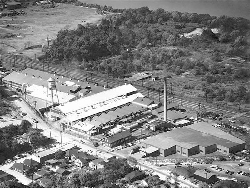
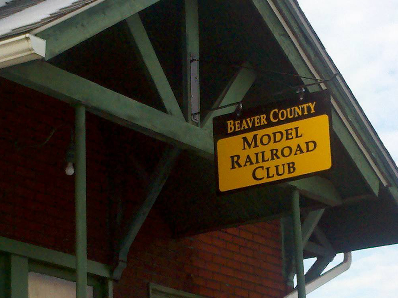
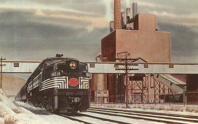
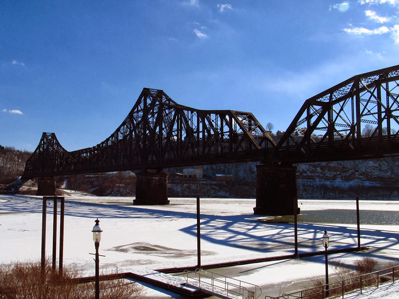
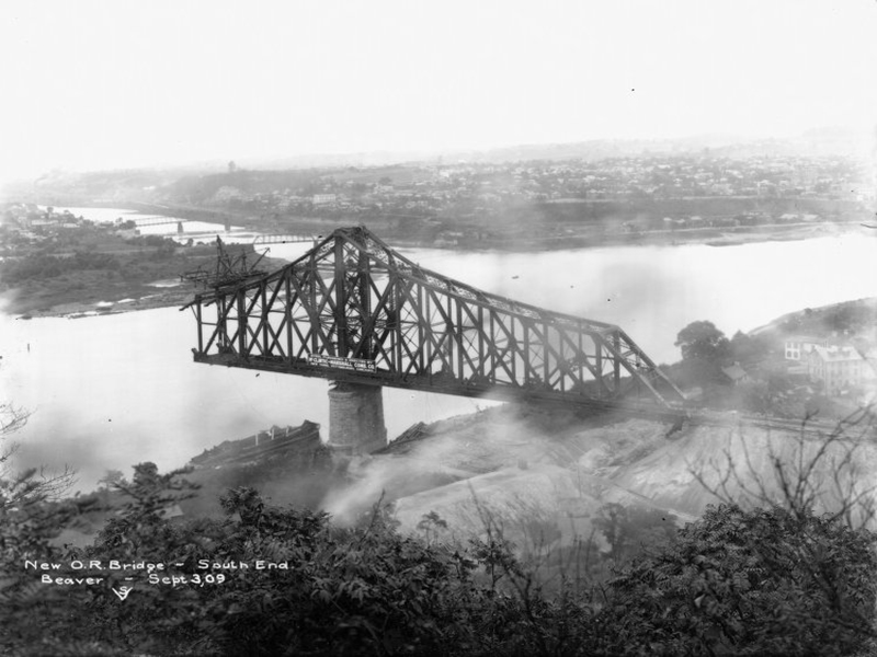
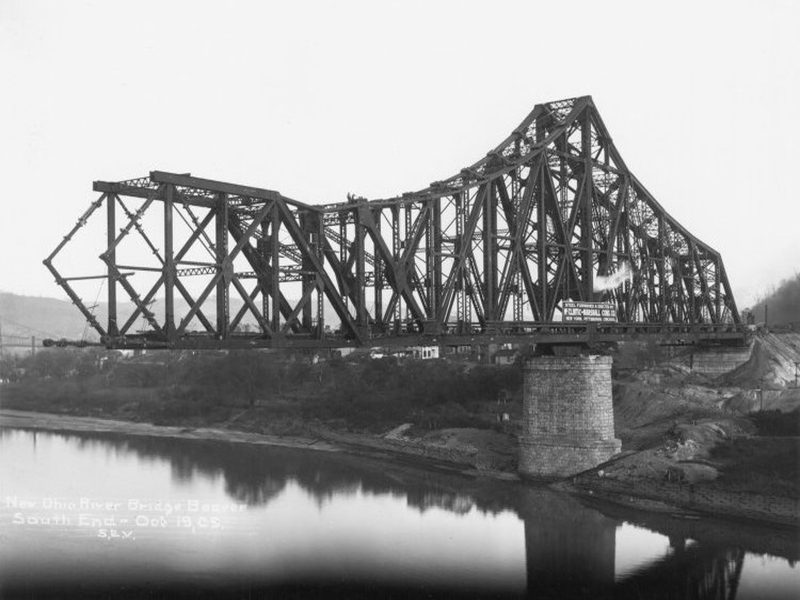
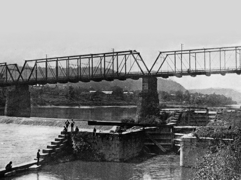
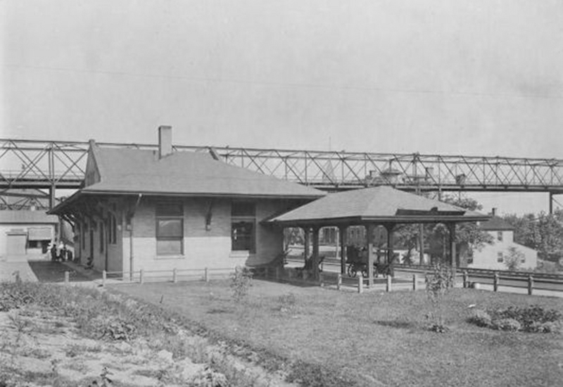
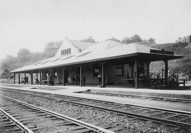
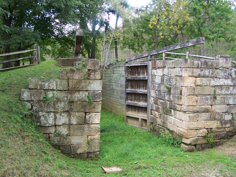
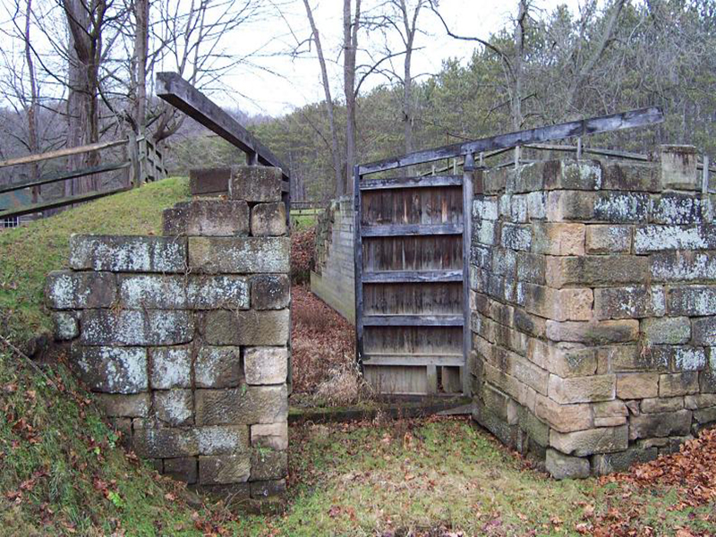
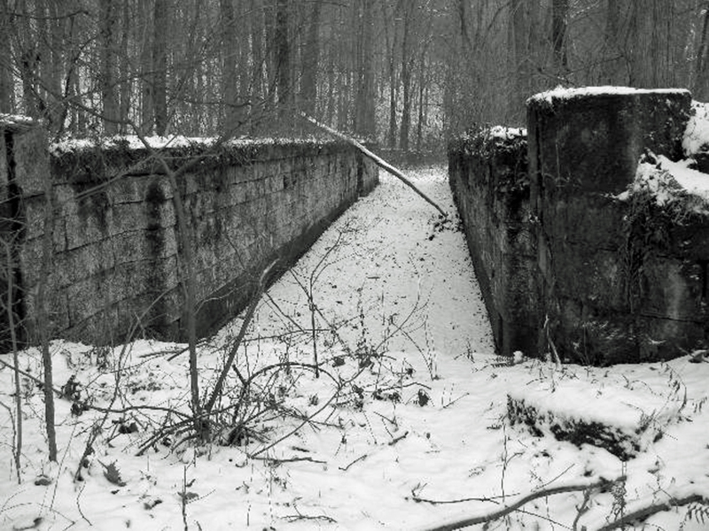
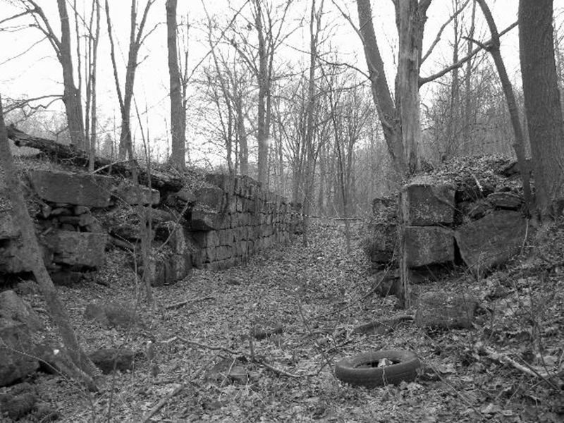
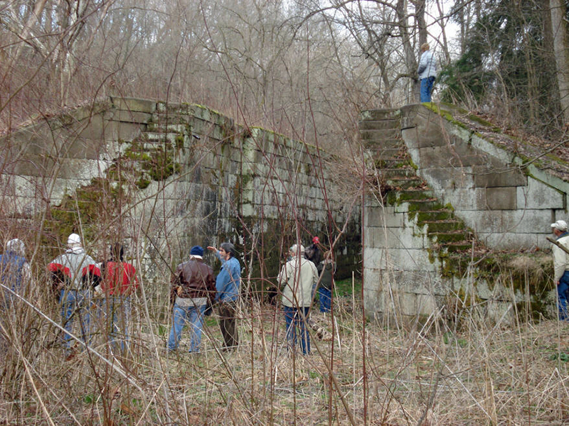
Washington’s Trail 1753 is a 501(c)(3) non-profit corporation. This all-volunteer citizen group works closely with the Oil Region National Heritage Area, Rivers of Steel National Heritage Area, Ohio River Trail Council, Butler County, and other local partners to develop and promote the trail. Washington’s Trail 1753 began in 2000. The Pennsylvania route is approximately 110 miles, which includes road signage through Beaver and Butler County to Fort LeBoeuf in Erie County. A cell phone tour is available for the Butler County segment. Brochures with maps are available online. Annual re-enactments along the trail tell the story of the perilous mission in programs presented to hundreds of school kids and adults. 
 
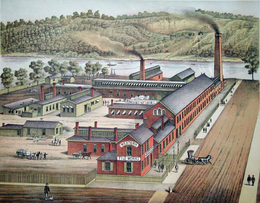
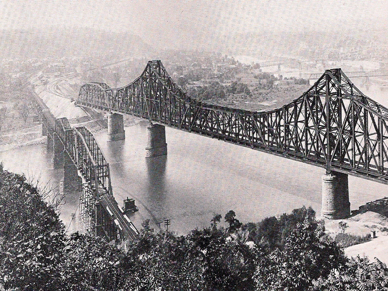
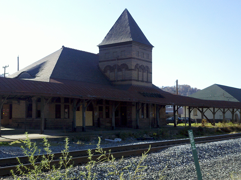
Future work includes expanding partnerships, and developing the route all the way to Williamsburg VA with the goal of becoming a designated National Historic Trail. The complete route of the Williamsburg – Pittsburgh – Lake Erie Corridor would touch these key destinations, among many others:  Williamsburg VA, Fredericksburg VA, Potomac River, Mount Vernon VA, Alexandria VA, Cumberland MD, Fort Necessity National Battlefield in Farmington PA, Youghiogheny River, Monongahela River, Fort Pitt (Pittsburgh PA), Ohio River, Logstown (Ambridge PA), Big Beaver Creek, Connoquenessing Creek, Murdering Town (Harmony PA), Allegheny River, French Creek, Franklin PA, the Venango Path, and Fort LeBoeuf in Waterford PA.
 
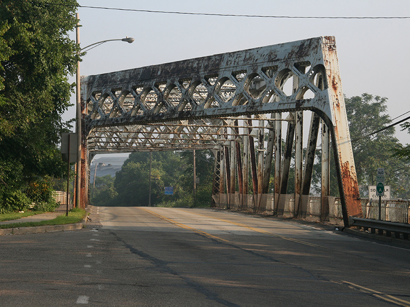
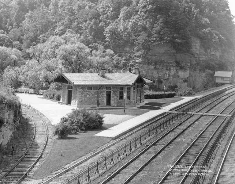
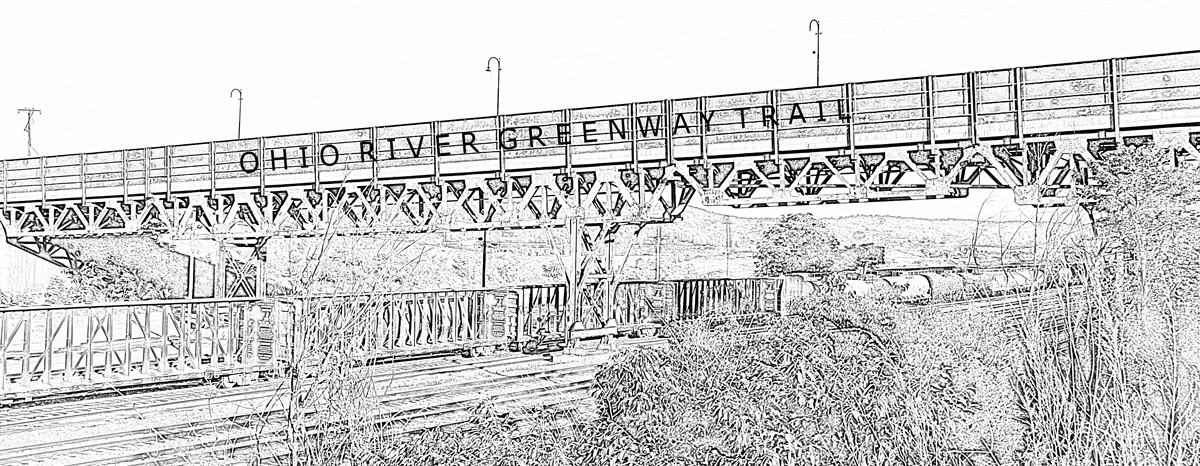
A portion of the Washington’s Trail 1753 utilizes the Ohio River Greenway Trail from the "Forks of the Ohio" to the "Big Beaver Creek."


* Written by Dr. Vincent Troia, President and CEO Ohio River Trail Council 2015
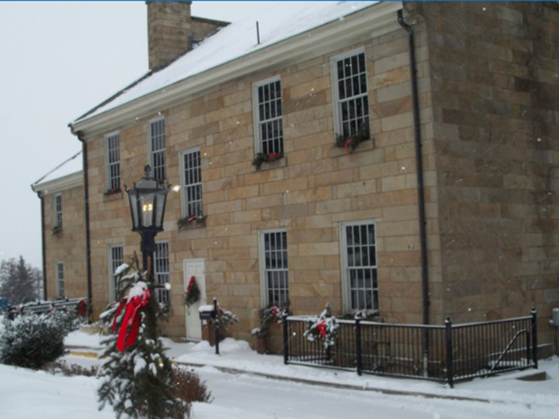
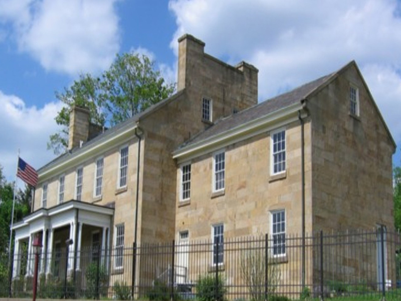
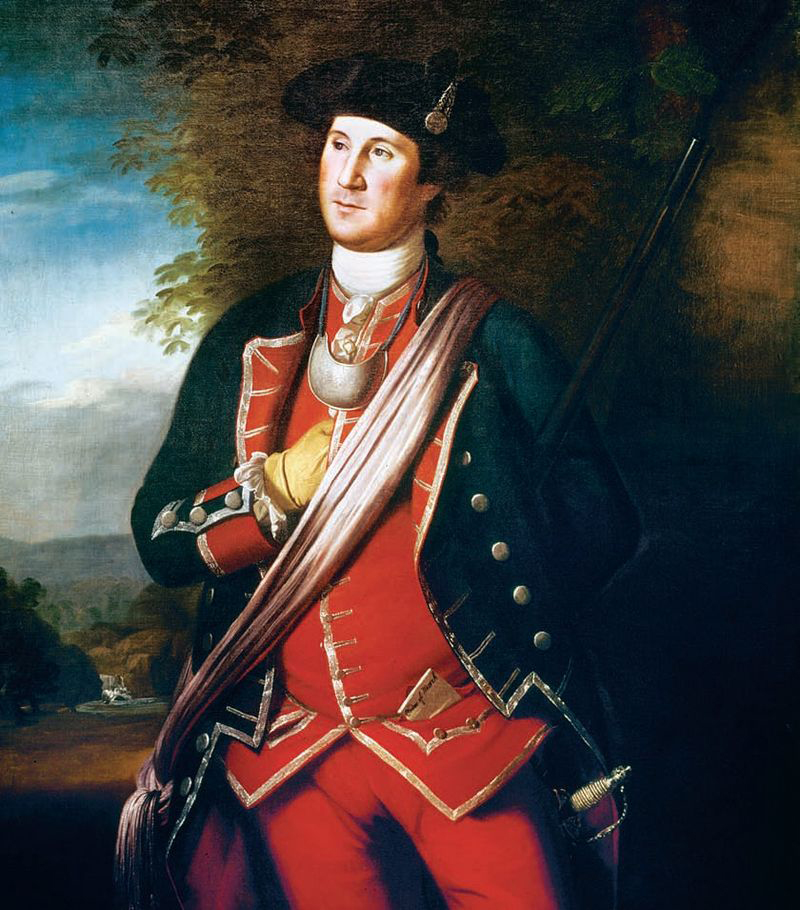
*The earliest authenticated portrait of George Washington shows him wearing his colonel's uniform of the Virginia Regiment from the French and Indian War. The portrait was painted about 12 years after Washington's service in that war, and several years before he would reenter military service in the American Revolution. Oil on canvas.This portrait was painted in 1772 by Charles Willson Peale.
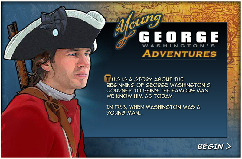
 

WebRangers

WebRangers is the National Park Service's site for kids of all ages. If you love our National Parks, Monuments and Historic Sites, this site is for you. If you are new to our National Parks, we hope this site helps you experience how wonderful they can be. Click on the link below to view the "Webranger" Program called "Young George Washington's Adventures."
 
 
Nike Sneakers StoreNike
 

Historical Images

  • Aliquiipa-Pa-BF-Jones-Memorial-Library.jpg
  • Aliquip-Pa-Tunnel.jpg
  • Aliquippa-JL-Aerial.jpg
  • Aliquippa-JL-LTV-B-Fces.jpg
  • Aliquippa-JL-Steel-Robert-Dorsett.jpg
  • Aliquippa-Pa-BF-Jones-Memorial-Library.jpg
  • Aliquippa-Pa-Bridge-Conrail-Caboose.jpg
  • Aliquippa-Pa-Park-1890.jpg
  • Aliquippa-Pa-PLE-Engines.jpg
  • Aliquippa-Pa-PLE-RR-Station.jpg
  • Aliquippa-Pa-PLE-Yards.jpg
  • aliquippa-pa-tunnel-under-construction.jpg
  • Aliquippa-Pa-Wagner-Act-Marker.jpg
  • Aliquippa-Pa-Woodlawn-PLE-Raliroad-Station.jpg
  • Aliquippa-Park-Carousel-1890.jpg
  • Aliquippa-Park-PA-1907.jpg
  • Aliquippa-Works-North-Mills-1970.jpg
  • Aliquippa-Works-North-Mills.jpg
  • Aliquippa-Works-Tower-under-Construction.jpg
  • Ambridge-Aliquippa-Bridge-Painting.jpg
  • Ambridge-Logstown-Indian-Village-Plaque.jpg
  • ambridge-pa-bridge-center.jpg
  • ambridge-pa-bridge-finial.jpg
  • ambridge-pa-bridge-length.jpg
  • ambridge-pa-bridge-sidewalk.jpg
  • ambridge-pa-bridge-top.jpg
  • Ambridge-Pa-French-delegation-led-by-Pierre-Joseph-Celeron-de-Blainville-at-Logstown-1749.jpg
  • Ambridge-Pa-George-Washington-meets-Tancharison-Half-King-at-Logstown-1753.jpg
  • Ambridge-Pa-Robert-Griffing-We-Dined-in-a-Hollow-Cottonwood-Tree.jpg
  • beaver-falls-college-hill-station.jpg
  • Beaver-Falls-Pa-Armstrong-Cork-Works.jpg
  • beaver-falls-pa-western-file-works.jpg
  • beaver-monaca-ple-rr-bridge-shortly-after-completion-in-1910.jpg
  • Beaver-Pa-Area-Heritage-Museum.jpg
  • Beaver-Pa-Beaver-County-Courthouse-2.jpg
  • beaver-pa-cleveland-and-pittsburgh-rr-station.jpg
  • beaver-pa-fort-mcintosh-illustration.jpg
  • Beaver-Pa-Fort-McIntosh-Marker-2.jpg
  • Beaver-Pa-Fort-Mcintosh-Marker.jpg
  • Beaver-Pa-Fort-Mcintosh-Monument.jpg
  • Beaver-Pa-Fort-Mcintosh-Plaque-2.jpg
  • Beaver-Pa-Fort-Mcintosh-Plaque-3.jpg
  • Beaver-Pa-Fort-Mcintosh-Plaque.jpg
  • Beaver-Pa-Fort-Mcintosh-Remnant.jpg
  • Beaver-Pa-Fort-McIntosh-Sketch-1.jpg
  • Beaver-Pa-Fort-McIntosh-Sketch.jpg
  • Beaver-Pa-PLE-Depot-9.jpg
  • beaver-pa-ple-passenger-station.jpg
  • Beaver-PLE-RR-Station-5-20-1949-Troia.jpg
  • Beaver-Valley-Motor-Coach-Ray-Janosko.jpg
  • bradys-run-bridge.jpg
  • Calendar-Art-City-of-Pittsburgh.jpg
  • Center-Duquesne-Slag-Bridge-2.jpg
  • Center-Duquesne-Slag-Bridge-3.jpg
  • Center-Duquesne-Slag-Bridge.jpg
  • Colonial-Steel-Division-Vanadium-Alloys-Steel-Company-Monaca-Pa.jpg
  • conrail-rochester-pa-2.jpg
  • Conway-Yards-1958.jpg
  • Coraopolis-Pa-Montour-Junction-Train-Station-Montour-Street.jpg
  • Coraopolis-Pa-PLE-RR-Station-Color.jpg
  • coraopolis-pa-ple-rr-station.jpg
  • Coraopolis-Pa-PLE-RR-Train-Station.jpg
  • Coraopolis-Pa-West-Works-Standard-Steel-Spring-Corporation-1950.jpg
  • Coraopolis-PLE-Railroad-Station-2-Copyright-Vincent-Troia-2007.jpg
  • Coraopolis-PLE-Railroad-Station-Copyright-Vincent-Troia-2007.jpg
  • Corapolis-Pa-Railroad-Station-Tower-2007.jpg
  • Fogg-Beaver-Station-and-Ohio-River-Bridge.jpg
  • Freedom-Pa-Aerial.jpg
  • freedom-pa-captain-william-vicary-house-2.jpg
  • freedom-pa-captain-william-vicary-house.jpg
  • Glenwillard-Pa-PLE-Commuter-Train.jpg
  • glenwillard-pa-ple-rr-station.jpg
  • Indian-Rocks-Postcard-ca-1908-Maravich1.jpg
  • Indian-Rocks-Postcard-ca-1908-Maravich3.jpg
  • JL-Aliquippa-Color-Cropped.jpg
  • JL-Steel-1977-Kevin-Scanlon.jpg
  • JL-Steel-Blast-Furnace-4-Judith-1967-Calendar-.jpg
  • JL-Steel-Blast-Furnaces-Aliquippa-Pa.jpg
  • JL-Steel-Corp-North-Mill-Aliquippa-PA.jpg
  • Kabuta-Works-Koppers-Company-Monaca.jpg
  • Leetsdale-Pa-Archeological-Site-2.jpg
  • Leetsdale-Pa-Archeological-Site.jpg
  • Leetsdale-Pa-Harmony-Brickworks.jpg
  • Legionville-General-Anthony-Wayne-Camp-Plaque.jpg
  • Legionville-Monument.jpg
  • Midland-Pa-VFW-Chuch-Elliott.jpg
  • Midland-Pa-VFW-Cobra-Attack-Helicopter-1.jpg
  • Midland-Pa-VFW-Cobra-Attack-Helicopter-2.jpg
  • Monaca-Pa-Beaver-County-Model-RR-Club.jpg
  • monaca-pa-echo-point-dairy.jpg
  • monaca-pa-george-washington-school.jpg
  • Monaca-Pa-New-Philadelphia-Society.jpg
  • Monaca-Pa-Pennsylvania-Avenue-Bridge-Bike-Route-A.jpg
  • Monaca-Pa-PLE-1501-7-12-1985.jpg
  • Monaca-Pa-PLE-Main-Line-Colona-Wreck.jpg
  • Monaca-Pa-PLE-RR-Bridge-Last-Beam.jpg
  • Monaca-Pa-PLE-RR-Bridge-Pin.jpg
  • monaca-pa-ple-sixth-station.jpg
  • monaca-pa-rr-platform.jpg
  • Monaca-Pa-Winter-Ohio-River-1909.jpg
  • monaca-pandle-freight.jpg
  • Montour-Junction-Engine-House-7-3-1977.jpg
  • Montour-Junction-PA80-Diesel-Shop.jpg
  • montour-junction-rr-terminal.jpg
  • Montour-Junction-TB-10-PLE-SW-1500.jpg
  • montour-rr-trucks.jpg
  • neville-island-dravo-slant.jpg
  • NYC-RR-Ohio-River-Bridge-Monaca-Pa.jpg
  • PCU-LST-668-American-Bridge-Co-Ambridge-PA-prior-to-launching-30-April-1944.jpg
  • phillips-power-plant-south-copyright-vincent-troia.jpg
  • PLE-Postcard-by-Howard-Fogg-Christmas-Mail-1907-Stoops-Ferry-Pa.jpg
  • PLE-Postcard-Howard-Fogg-Afternoon-Steel-King-passing-Phillips-Power-Station-Duquesne-Light-Co-South-Heights-Pa.jpg
  • PLE-Postcard-Howard-Fogg-Morning-Steel-King-Phillips-Power-Station-Duquesne-Light-Co-South-Heights-Pa.jpg
  • PLE-RR-BRIDGE-BRIDGEWATER.jpg
  • PLE-RR-BRIDGE-MONACA-2.jpg
  • PLE-RR-BRIDGE-MONACA-3.jpg
  • PLE-RR-BRIDGE-MONACA-GANTRY-TRAVELER-PLACING-FIRST-PANEL-CANTILEVER-ARM.jpg
  • PLE-RR-BRIDGE-MONACA.jpg
  • PLE-RR-Monaca-Bridge.jpg
  • Point-of-Beginning-of-the-US-Public-Land-Survey.jpg
  • Racoon-Twp-Moffett-Mill-Bridge.jpg
  • Rochester-Big-Beaver-River-Girard-Lock-Dam.jpg
  • Rochester-Monaca-Bridge-1915.jpg
  • rochester-monaca-bridge.jpg
  • rochester-pa-barge-operation.jpg
  • Rochester-Pa-Big-Beaver-River-Bridge-Girard-Locks.jpg
  • Rochester-PA-World-War-II-Memorial.jpg
  • rochester-prr-station-2.jpg
  • rochester-prr-station.jpg
  • Sandy-Beaver-Canal-Lock-36-2.jpg
  • Sandy-Beaver-Canal-Lock-36.jpg
  • Sandy-Beaver-Canal-Lock-39.jpg
  • Sandy-Beaver-Canal-Lock-51.jpg
  • Sandy-Beaver-Canal-Lusk-Lock-2.jpg
  • Sandy-Beaver-Canal-Lusk-Lock.jpg
  • sewickley-pa-bridge-aerial.jpg
  • sewickley-pa-bridge-painting-2.jpg
  • sewickley-pa-bridge-painting-aerial.jpg
  • Smiths-Ferry-Petroglyphs-Women.jpg
  • Stoops-Ferry-Station-Narrows-Run-Moon-Pa.jpg
  • Stoops-Ferry-Station-North-View.jpg
 

USA Track & Field Certified Road Races

Bicycle Touring & Bikepacking

The Montour Trail


Black's Run Bridge

Aleppo Sewickley Glen Osborne Joint Comprehensive Plan

PennDOT LTAP

Stay Up to Date


PA Bicycle Safety Quiz


BIKEABILITY CHECKLIST


PennDOT Bicycle & Pedestrian Plan


Beaver County Comp Rec Plan

Sign our Petition

RiverWise

Race Results

Great Ohio Lake to River Greenway

Urban Bikeway Design Studies

Pittsburgh Bike Map

North Shore Connector Feasibility Study


ORGT North Shore Feasibility Study


ORGT South Shore Feasibility Study


Monaca Gateway Project

Moon Township Riverfront Park Master Plan

Beaver Borough Riverfront Park

Rochester Township Riverfront Plan


Ohio River Brownfields Planning Project

Coraopolis Train Station


Woodlawn P&LE Railroad Station

Pittsburgh to Coraopolis Feasibility Study

Bicycle Friendly Community


Ohio River Trail Road Signs

Bike PA Route A

Bike PA Route A Alternate Route

Bike Route Corridor Mapping

Separated Bike Lane

Green Lane Project

Spokes People

PA Trails of History

Washington's Trail 1753

Airport Bike Connections

Ohio River Trail Airport Connector

Great Allegheny Passage

Industrial Heartland Trails

U.S. Bicycle Route System

Underground Railroad Bicycle Route

Healthy Ride

Crossing Railroad Tracks Safely

Bicycling Laws & Safety Publications

Petroglyphs of Pennsylvania


Vote Ohio River as Pa's River of the Year


Volunteer Today

Account Login

Create an Account

Support Us

Please consider supporting our efforts with a tax deductible gift.

Amount:


Annual Membership Meeting

Outdoor Adventure Club

Bicycle Parking Program

ORTC National Trails Day

Forum

Corporate Office

Ohio River Greenway Trail Logo

Administration Login Only

User Menu

Trail Town Program Survey